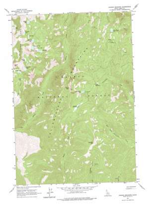
Hoodoo Meadows Topo Map Idaho
To zoom in, hover over the map of Hoodoo Meadows
USGS Topo Quad 45114a5 - 1:24,000 scale
| Topo Map Name: | Hoodoo Meadows |
| USGS Topo Quad ID: | 45114a5 |
| Print Size: | ca. 21 1/4" wide x 27" high |
| Southeast Coordinates: | 45° N latitude / 114.5° W longitude |
| Map Center Coordinates: | 45.0625° N latitude / 114.5625° W longitude |
| U.S. State: | ID |
| Filename: | o45114a5.jpg |
| Download Map JPG Image: | Hoodoo Meadows topo map 1:24,000 scale |
| Map Type: | Topographic |
| Topo Series: | 7.5´ |
| Map Scale: | 1:24,000 |
| Source of Map Images: | United States Geological Survey (USGS) |
| Alternate Map Versions: |
Hoodoo Meadows ID 1962, updated 1964 Download PDF Buy paper map Hoodoo Meadows ID 1962, updated 1977 Download PDF Buy paper map Hoodoo Meadows ID 2011 Download PDF Buy paper map Hoodoo Meadows ID 2013 Download PDF Buy paper map |
| FStopo: | US Forest Service topo Hoodoo Meadows is available: Download FStopo PDF Download FStopo TIF |
1:24,000 Topo Quads surrounding Hoodoo Meadows
> Back to 45114a1 at 1:100,000 scale
> Back to 45114a1 at 1:250,000 scale
> Back to U.S. Topo Maps home
Hoodoo Meadows topo map: Gazetteer
Hoodoo Meadows: Flats
Frog Meadows elevation 2373m 7785′Hoodoo Meadows elevation 2508m 8228′
Hoodoo Meadows: Lakes
Alpine Lake elevation 2569m 8428′Buck Lake elevation 2462m 8077′
Doe Lake elevation 2463m 8080′
Echo Lake elevation 2531m 8303′
Fawn Lake elevation 2463m 8080′
Golden Trout Lake elevation 2485m 8152′
Lost Lake elevation 2549m 8362′
Paragon Lake elevation 2609m 8559′
Ramshorn Lake elevation 2475m 8120′
Reflection Lake elevation 2473m 8113′
Skyhigh Lake elevation 2633m 8638′
Tip Top Lake elevation 2554m 8379′
Turquoise Lake elevation 2626m 8615′
Twin Cove Lake elevation 2551m 8369′
Yellowjacket Lake elevation 2422m 7946′
Hoodoo Meadows: Mines
Park Mine elevation 2330m 7644′Hoodoo Meadows: Ranges
Yellowjacket Mountains elevation 2444m 8018′Hoodoo Meadows: Summits
McEleny Mountain elevation 2723m 8933′Puddin Mountain elevation 2796m 9173′
Sugar Loaf elevation 2755m 9038′
Hoodoo Meadows digital topo map on disk
Buy this Hoodoo Meadows topo map showing relief, roads, GPS coordinates and other geographical features, as a high-resolution digital map file on DVD:


