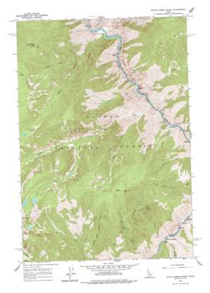
Butts Creek Point Topo Map Idaho
To zoom in, hover over the map of Butts Creek Point
USGS Topo Quad 45114c6 - 1:24,000 scale
| Topo Map Name: | Butts Creek Point |
| USGS Topo Quad ID: | 45114c6 |
| Print Size: | ca. 21 1/4" wide x 27" high |
| Southeast Coordinates: | 45.25° N latitude / 114.625° W longitude |
| Map Center Coordinates: | 45.3125° N latitude / 114.6875° W longitude |
| U.S. State: | ID |
| Filename: | o45114c6.jpg |
| Download Map JPG Image: | Butts Creek Point topo map 1:24,000 scale |
| Map Type: | Topographic |
| Topo Series: | 7.5´ |
| Map Scale: | 1:24,000 |
| Source of Map Images: | United States Geological Survey (USGS) |
| Alternate Map Versions: |
Butts Creek Point ID 1962, updated 1964 Download PDF Buy paper map Butts Creek Point ID 1962, updated 1977 Download PDF Buy paper map Butts Creek Point ID 1962, updated 1977 Download PDF Buy paper map Butts Creek Point ID 2011 Download PDF Buy paper map Butts Creek Point ID 2013 Download PDF Buy paper map |
| FStopo: | US Forest Service topo Butts Creek Point is available: Download FStopo PDF Download FStopo TIF |
1:24,000 Topo Quads surrounding Butts Creek Point
> Back to 45114a1 at 1:100,000 scale
> Back to 45114a1 at 1:250,000 scale
> Back to U.S. Topo Maps home
Butts Creek Point topo map: Gazetteer
Butts Creek Point: Bars
Cache Bar elevation 910m 2985′Corn Creek Bar elevation 903m 2962′
Cunningham Bar elevation 896m 2939′
Butts Creek Point: Rapids
Hancock Rapids elevation 944m 3097′Butts Creek Point: Streams
Anita Creek elevation 912m 2992′Bay Creek elevation 1025m 3362′
Bear Basin Creek elevation 918m 3011′
Butts Creek elevation 902m 2959′
Corn Creek elevation 884m 2900′
Cramer Creek elevation 910m 2985′
Fountain Creek elevation 921m 3021′
Kitchen Creek elevation 915m 3001′
Nolan Creek elevation 944m 3097′
Proctor Creek elevation 907m 2975′
Roaring Creek elevation 951m 3120′
South Fork Kitchen Creek elevation 1621m 5318′
West Fork Butts Creek elevation 1285m 4215′
Wheat Creek elevation 932m 3057′
Butts Creek Point: Summits
Butts Creek Point elevation 2375m 7791′Butts Creek Point: Trails
Stoddard Trail elevation 2008m 6587′Butts Creek Point digital topo map on disk
Buy this Butts Creek Point topo map showing relief, roads, GPS coordinates and other geographical features, as a high-resolution digital map file on DVD:


