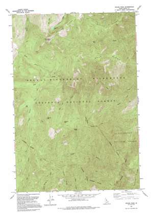
Wylies Peak Topo Map Idaho
To zoom in, hover over the map of Wylies Peak
USGS Topo Quad 45114h8 - 1:24,000 scale
| Topo Map Name: | Wylies Peak |
| USGS Topo Quad ID: | 45114h8 |
| Print Size: | ca. 21 1/4" wide x 27" high |
| Southeast Coordinates: | 45.875° N latitude / 114.875° W longitude |
| Map Center Coordinates: | 45.9375° N latitude / 114.9375° W longitude |
| U.S. State: | ID |
| Filename: | o45114h8.jpg |
| Download Map JPG Image: | Wylies Peak topo map 1:24,000 scale |
| Map Type: | Topographic |
| Topo Series: | 7.5´ |
| Map Scale: | 1:24,000 |
| Source of Map Images: | United States Geological Survey (USGS) |
| Alternate Map Versions: |
Wylies Peak ID 1966, updated 1968 Download PDF Buy paper map Wylies Peak ID 1966, updated 1984 Download PDF Buy paper map Wylies Peak ID 1966, updated 1987 Download PDF Buy paper map Wylies Peak ID 1991, updated 1995 Download PDF Buy paper map Wylies Peak ID 1995, updated 1999 Download PDF Buy paper map Wylies Peak ID 2011 Download PDF Buy paper map Wylies Peak ID 2013 Download PDF Buy paper map |
| FStopo: | US Forest Service topo Wylies Peak is available: Download FStopo PDF Download FStopo TIF |
1:24,000 Topo Quads surrounding Wylies Peak
> Back to 45114e1 at 1:100,000 scale
> Back to 45114a1 at 1:250,000 scale
> Back to U.S. Topo Maps home
Wylies Peak topo map: Gazetteer
Wylies Peak: Gaps
Archer Saddle elevation 2026m 6646′Wylies Peak: Lakes
Lonesome Lake elevation 2032m 6666′Mud Lake elevation 1862m 6108′
Wylies Peak: Pillars
Diamond Rock elevation 2084m 6837′Wylies Peak: Ridges
Goat Ridge elevation 1988m 6522′Grouse Ridge elevation 1913m 6276′
Patrol Ridge elevation 1973m 6473′
Saddle Blanket Ridge elevation 2197m 7208′
Wylies Ridge elevation 2038m 6686′
Wylies Peak: Streams
Box Car Creek elevation 1542m 5059′Gizard Creek elevation 984m 3228′
Grouse Creek elevation 1028m 3372′
Long Prairie Creek elevation 1753m 5751′
North Fork Goat Creek elevation 1715m 5626′
South Fork Goat Creek elevation 975m 3198′
Wylies Peak: Summits
Archer Mountain elevation 2282m 7486′Box Car Mountain elevation 2283m 7490′
Wylies Peak elevation 2350m 7709′
Wylies Peak digital topo map on disk
Buy this Wylies Peak topo map showing relief, roads, GPS coordinates and other geographical features, as a high-resolution digital map file on DVD:


