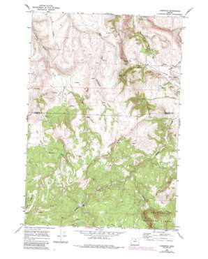
Lonerock Topo Map Oregon
To zoom in, hover over the map of Lonerock
USGS Topo Quad 45119a8 - 1:24,000 scale
| Topo Map Name: | Lonerock |
| USGS Topo Quad ID: | 45119a8 |
| Print Size: | ca. 21 1/4" wide x 27" high |
| Southeast Coordinates: | 45° N latitude / 119.875° W longitude |
| Map Center Coordinates: | 45.0625° N latitude / 119.9375° W longitude |
| U.S. State: | OR |
| Filename: | o45119a8.jpg |
| Download Map JPG Image: | Lonerock topo map 1:24,000 scale |
| Map Type: | Topographic |
| Topo Series: | 7.5´ |
| Map Scale: | 1:24,000 |
| Source of Map Images: | United States Geological Survey (USGS) |
| Alternate Map Versions: |
Lonerock OR 1969, updated 1973 Download PDF Buy paper map Lonerock OR 1969, updated 1984 Download PDF Buy paper map Lonerock OR 1995, updated 1998 Download PDF Buy paper map Lonerock OR 2011 Download PDF Buy paper map Lonerock OR 2014 Download PDF Buy paper map |
| FStopo: | US Forest Service topo Lonerock is available: Download FStopo PDF Download FStopo TIF |
1:24,000 Topo Quads surrounding Lonerock
> Back to 45119a1 at 1:100,000 scale
> Back to 45118a1 at 1:250,000 scale
> Back to U.S. Topo Maps home
Lonerock topo map: Gazetteer
Lonerock: Populated Places
Lonerock elevation 870m 2854′Lost Valley (historical) elevation 1159m 3802′
Lonerock: Post Offices
Lonerock Post Office (historical) elevation 870m 2854′Lost Valley Post Office (historical) elevation 1133m 3717′
Lonerock: Ridges
Oxhead Ridge elevation 1474m 4835′Lonerock: Springs
Big Spring elevation 1184m 3884′Lonerock: Streams
Brown Creek elevation 896m 2939′Buckhorn Creek elevation 874m 2867′
Johnson Creek elevation 889m 2916′
Robinette Creek elevation 854m 2801′
Lonerock: Valleys
Boone Canyon elevation 875m 2870′Goff Canyon elevation 884m 2900′
Stahl Canyon elevation 998m 3274′
Wineland Canyon elevation 1066m 3497′
Lonerock digital topo map on disk
Buy this Lonerock topo map showing relief, roads, GPS coordinates and other geographical features, as a high-resolution digital map file on DVD:


