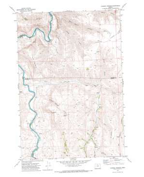
Chimney Springs Topo Map Oregon
To zoom in, hover over the map of Chimney Springs
USGS Topo Quad 45120a4 - 1:24,000 scale
| Topo Map Name: | Chimney Springs |
| USGS Topo Quad ID: | 45120a4 |
| Print Size: | ca. 21 1/4" wide x 27" high |
| Southeast Coordinates: | 45° N latitude / 120.375° W longitude |
| Map Center Coordinates: | 45.0625° N latitude / 120.4375° W longitude |
| U.S. State: | OR |
| Filename: | o45120a4.jpg |
| Download Map JPG Image: | Chimney Springs topo map 1:24,000 scale |
| Map Type: | Topographic |
| Topo Series: | 7.5´ |
| Map Scale: | 1:24,000 |
| Source of Map Images: | United States Geological Survey (USGS) |
| Alternate Map Versions: |
Chimney Springs OR 1970, updated 1973 Download PDF Buy paper map Chimney Springs OR 2011 Download PDF Buy paper map Chimney Springs OR 2014 Download PDF Buy paper map |
1:24,000 Topo Quads surrounding Chimney Springs
> Back to 45120a1 at 1:100,000 scale
> Back to 45120a1 at 1:250,000 scale
> Back to U.S. Topo Maps home
Chimney Springs topo map: Gazetteer
Chimney Springs: Flats
Juniper Flat elevation 781m 2562′Chimney Springs: Gaps
Bills Pass elevation 1032m 3385′Chimney Springs: Ridges
Horse Mountain elevation 897m 2942′Chimney Springs: Springs
Cabin Spring elevation 370m 1213′Chimney Springs elevation 883m 2896′
East Frickey Spring elevation 865m 2837′
Chimney Springs: Streams
Butte Creek elevation 354m 1161′Deep Creek elevation 498m 1633′
Chimney Springs: Valleys
Big Gulch elevation 332m 1089′Brush Hollow elevation 497m 1630′
Chimney Springs Canyon elevation 369m 1210′
Harvey Canyon elevation 755m 2477′
Knox Canyon elevation 683m 2240′
Pepper Canyon elevation 889m 2916′
Pete Enyart Canyon elevation 317m 1040′
South Fork Pete Enyart Canyon elevation 443m 1453′
Chimney Springs digital topo map on disk
Buy this Chimney Springs topo map showing relief, roads, GPS coordinates and other geographical features, as a high-resolution digital map file on DVD:


