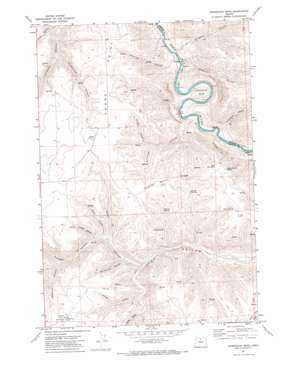
Horseshoe Bend Topo Map Oregon
To zoom in, hover over the map of Horseshoe Bend
USGS Topo Quad 45120b5 - 1:24,000 scale
| Topo Map Name: | Horseshoe Bend |
| USGS Topo Quad ID: | 45120b5 |
| Print Size: | ca. 21 1/4" wide x 27" high |
| Southeast Coordinates: | 45.125° N latitude / 120.5° W longitude |
| Map Center Coordinates: | 45.1875° N latitude / 120.5625° W longitude |
| U.S. State: | OR |
| Filename: | o45120b5.jpg |
| Download Map JPG Image: | Horseshoe Bend topo map 1:24,000 scale |
| Map Type: | Topographic |
| Topo Series: | 7.5´ |
| Map Scale: | 1:24,000 |
| Source of Map Images: | United States Geological Survey (USGS) |
| Alternate Map Versions: |
Horseshoe Bend OR 1971, updated 1973 Download PDF Buy paper map Horseshoe Bend OR 2011 Download PDF Buy paper map Horseshoe Bend OR 2014 Download PDF Buy paper map |
1:24,000 Topo Quads surrounding Horseshoe Bend
> Back to 45120a1 at 1:100,000 scale
> Back to 45120a1 at 1:250,000 scale
> Back to U.S. Topo Maps home
Horseshoe Bend topo map: Gazetteer
Horseshoe Bend: Airports
Compressor Station Number 10 Airstrip elevation 768m 2519′George Wilson Ranch Airstrip elevation 796m 2611′
Horseshoe Bend: Bends
Horseshoe Bend elevation 373m 1223′Horseshoe Bend: Ridges
Adobe Point elevation 806m 2644′McInnes Norton Ridge elevation 797m 2614′
Horseshoe Bend: Springs
Hatley Springs elevation 630m 2066′Horse Pasture Spring elevation 713m 2339′
McInnes Spring elevation 625m 2050′
Norton Spring elevation 622m 2040′
Stakely Spring elevation 545m 1788′
Warren Spring elevation 755m 2477′
Horseshoe Bend: Summits
Wolf Mountain elevation 800m 2624′Horseshoe Bend: Valleys
Armstrong Canyon elevation 549m 1801′Buckskin Canyon elevation 266m 872′
Burned Out Canyon elevation 467m 1532′
Chisholm Canyon elevation 290m 951′
Combine Canyon elevation 283m 928′
Cordwood Canyon elevation 287m 941′
Daugherty Canyon elevation 573m 1879′
Eakin Canyon elevation 427m 1400′
Finster Canyon elevation 517m 1696′
Guyton Canyon elevation 474m 1555′
Hannafin Canyon elevation 491m 1610′
Kelsay Canyon elevation 528m 1732′
Porter Canyon elevation 466m 1528′
Potlatch Canyon elevation 269m 882′
Sand Canyon elevation 514m 1686′
Vaughn Canyon elevation 513m 1683′
Horseshoe Bend digital topo map on disk
Buy this Horseshoe Bend topo map showing relief, roads, GPS coordinates and other geographical features, as a high-resolution digital map file on DVD:


