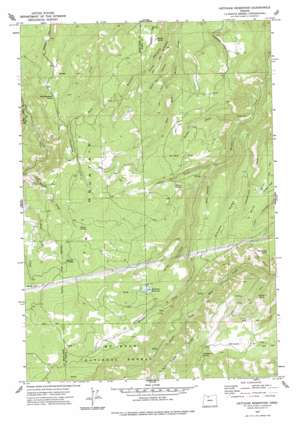
Ketchum Reservoir Topo Map Oregon
To zoom in, hover over the map of Ketchum Reservoir
USGS Topo Quad 45121e4 - 1:24,000 scale
| Topo Map Name: | Ketchum Reservoir |
| USGS Topo Quad ID: | 45121e4 |
| Print Size: | ca. 21 1/4" wide x 27" high |
| Southeast Coordinates: | 45.5° N latitude / 121.375° W longitude |
| Map Center Coordinates: | 45.5625° N latitude / 121.4375° W longitude |
| U.S. State: | OR |
| Filename: | o45121e4.jpg |
| Download Map JPG Image: | Ketchum Reservoir topo map 1:24,000 scale |
| Map Type: | Topographic |
| Topo Series: | 7.5´ |
| Map Scale: | 1:24,000 |
| Source of Map Images: | United States Geological Survey (USGS) |
| Alternate Map Versions: |
Ketchum Reservoir OR 1977, updated 1977 Download PDF Buy paper map Ketchum Reservoir OR 1994, updated 1997 Download PDF Buy paper map Ketchum Reservoir OR 2011 Download PDF Buy paper map Ketchum Reservoir OR 2014 Download PDF Buy paper map |
| FStopo: | US Forest Service topo Ketchum Reservoir is available: Download FStopo PDF Download FStopo TIF |
1:24,000 Topo Quads surrounding Ketchum Reservoir
> Back to 45121e1 at 1:100,000 scale
> Back to 45120a1 at 1:250,000 scale
> Back to U.S. Topo Maps home
Ketchum Reservoir topo map: Gazetteer
Ketchum Reservoir: Canals
Neal Creek Lateral elevation 292m 958′Ketchum Reservoir: Dams
Ketchum Dam elevation 945m 3100′Ketchum Reservoir: Flats
Breeds Flat elevation 912m 2992′Pine Flat elevation 971m 3185′
Round Prairie elevation 1024m 3359′
Willow Flat elevation 736m 2414′
Ketchum Reservoir: Reservoirs
Ketchum Reservoir elevation 945m 3100′Sky Ranch Reservoir Number Four elevation 535m 1755′
Sky Ranch Reservoir Number Three elevation 563m 1847′
Ketchum Reservoir: Ridges
Mill Creek Ridge elevation 1043m 3421′Sheldon Ridge elevation 761m 2496′
Smith Ridge elevation 698m 2290′
Woods Backbone elevation 552m 1811′
Ketchum Reservoir: Springs
Beaver Spring elevation 1012m 3320′McVey Spring elevation 714m 2342′
Morden Spring elevation 609m 1998′
Old Schoolhouse Spring elevation 622m 2040′
Saddle Spring elevation 798m 2618′
Schoolmarn Spring elevation 839m 2752′
Willow Spring elevation 671m 2201′
Ketchum Reservoir: Streams
Beaver Creek elevation 560m 1837′Honeysuckle Creek elevation 266m 872′
Indian Creek elevation 513m 1683′
Kellar Creek elevation 358m 1174′
Snakehead Creek elevation 400m 1312′
Spring Creek elevation 721m 2365′
West Fork Neal Creek elevation 314m 1030′
Ketchum Reservoir: Summits
Fir Mountain elevation 1099m 3605′Sugarloaf elevation 457m 1499′
Thompson Point elevation 821m 2693′
Ketchum Reservoir: Valleys
Baker Canyon elevation 410m 1345′Buck Hollow elevation 558m 1830′
Buck Hollow elevation 640m 2099′
Ketchum Reservoir digital topo map on disk
Buy this Ketchum Reservoir topo map showing relief, roads, GPS coordinates and other geographical features, as a high-resolution digital map file on DVD:


