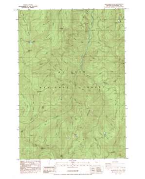
Wanderers Peak Topo Map Oregon
To zoom in, hover over the map of Wanderers Peak
USGS Topo Quad 45122a2 - 1:24,000 scale
| Topo Map Name: | Wanderers Peak |
| USGS Topo Quad ID: | 45122a2 |
| Print Size: | ca. 21 1/4" wide x 27" high |
| Southeast Coordinates: | 45° N latitude / 122.125° W longitude |
| Map Center Coordinates: | 45.0625° N latitude / 122.1875° W longitude |
| U.S. State: | OR |
| Filename: | o45122a2.jpg |
| Download Map JPG Image: | Wanderers Peak topo map 1:24,000 scale |
| Map Type: | Topographic |
| Topo Series: | 7.5´ |
| Map Scale: | 1:24,000 |
| Source of Map Images: | United States Geological Survey (USGS) |
| Alternate Map Versions: |
Wanderers Peak OR 1985, updated 1986 Download PDF Buy paper map Wanderers Peak OR 1997, updated 1999 Download PDF Buy paper map Wanderers Peak OR 2011 Download PDF Buy paper map Wanderers Peak OR 2014 Download PDF Buy paper map |
| FStopo: | US Forest Service topo Wanderers Peak is available: Download FStopo PDF Download FStopo TIF |
1:24,000 Topo Quads surrounding Wanderers Peak
> Back to 45122a1 at 1:100,000 scale
> Back to 45122a1 at 1:250,000 scale
> Back to U.S. Topo Maps home
Wanderers Peak topo map: Gazetteer
Wanderers Peak: Lakes
Memaloose Lake elevation 1252m 4107′Surprise Lake elevation 1231m 4038′
Wanderers Peak: Ridges
Camelsback elevation 1403m 4603′Dead Horse Butte elevation 1363m 4471′
Wanderers Peak: Streams
Button Creek elevation 349m 1145′Calico Creek elevation 548m 1797′
Cedar Creek elevation 721m 2365′
Coffee Creek elevation 555m 1820′
Cotton Creek elevation 615m 2017′
Fall Creek elevation 569m 1866′
First Creek elevation 353m 1158′
Flannel Creek elevation 678m 2224′
Gingham Creek elevation 591m 1938′
Lunch Creek elevation 862m 2828′
Music Creek elevation 485m 1591′
Oasis Creek elevation 906m 2972′
Pick Creek elevation 523m 1715′
Second Creek elevation 394m 1292′
Shovel Creek elevation 766m 2513′
Silk Creek elevation 438m 1437′
Third Creek elevation 422m 1384′
Tweed Creek elevation 771m 2529′
Wanderers Creek elevation 416m 1364′
Wash Creek elevation 502m 1646′
Wear Creek elevation 765m 2509′
Wool Creek elevation 649m 2129′
Worsted Creek elevation 840m 2755′
Wanderers Peak: Summits
Bracket Mountain elevation 1504m 4934′Divide Butte elevation 1456m 4776′
East Mountain elevation 1604m 5262′
Miners Butte elevation 1402m 4599′
Round Mountain elevation 1404m 4606′
South Fork Mountain elevation 1479m 4852′
Wanderers Peak elevation 1307m 4288′
Wash Creek Butte elevation 1392m 4566′
Wanderers Peak digital topo map on disk
Buy this Wanderers Peak topo map showing relief, roads, GPS coordinates and other geographical features, as a high-resolution digital map file on DVD:


