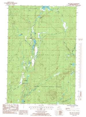
Neo Lake Se Topo Map Michigan
To zoom in, hover over the map of Neo Lake Se
USGS Topo Quad 46088c3 - 1:24,000 scale
| Topo Map Name: | Neo Lake Se |
| USGS Topo Quad ID: | 46088c3 |
| Print Size: | ca. 21 1/4" wide x 27" high |
| Southeast Coordinates: | 46.25° N latitude / 88.25° W longitude |
| Map Center Coordinates: | 46.3125° N latitude / 88.3125° W longitude |
| U.S. State: | MI |
| Filename: | o46088c3.jpg |
| Download Map JPG Image: | Neo Lake Se topo map 1:24,000 scale |
| Map Type: | Topographic |
| Topo Series: | 7.5´ |
| Map Scale: | 1:24,000 |
| Source of Map Images: | United States Geological Survey (USGS) |
| Alternate Map Versions: |
Ned Lake SE MI 1985, updated 1986 Download PDF Buy paper map Ned Lake SE MI 2011 Download PDF Buy paper map Ned Lake SE MI 2014 Download PDF Buy paper map Ned Lake SE MI 2016 Download PDF Buy paper map |
1:24,000 Topo Quads surrounding Neo Lake Se
> Back to 46088a1 at 1:100,000 scale
> Back to 46088a1 at 1:250,000 scale
> Back to U.S. Topo Maps home
Neo Lake Se topo map: Gazetteer
Neo Lake Se: Lakes
Bone Lake elevation 491m 1610′Deer Lake elevation 471m 1545′
Diana Pond elevation 477m 1564′
Forty Nine Pond elevation 476m 1561′
Hardwood Lake elevation 485m 1591′
Otter Lake elevation 461m 1512′
Square Lake elevation 472m 1548′
Sullivan Lake elevation 481m 1578′
Neo Lake Se: Reservoirs
Camp Eight Ponds elevation 467m 1532′Neo Lake Se: Streams
Camp Creek elevation 467m 1532′Camp Eight Creek elevation 468m 1535′
East Branch Fence River elevation 462m 1515′
Flanigan Creek elevation 491m 1610′
Fribley Creek elevation 471m 1545′
Johnson Creek elevation 462m 1515′
Jones Camp Creek elevation 465m 1525′
Twenty Six Creek elevation 473m 1551′
West Branch Fence River elevation 462m 1515′
Neo Lake Se digital topo map on disk
Buy this Neo Lake Se topo map showing relief, roads, GPS coordinates and other geographical features, as a high-resolution digital map file on DVD:


