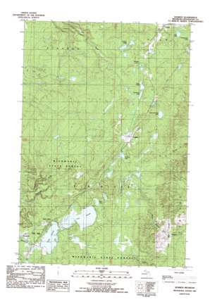
Donken Topo Map Michigan
To zoom in, hover over the map of Donken
USGS Topo Quad 46088h7 - 1:25,000 scale
| Topo Map Name: | Donken |
| USGS Topo Quad ID: | 46088h7 |
| Print Size: | ca. 21 1/4" wide x 27" high |
| Southeast Coordinates: | 46.875° N latitude / 88.75° W longitude |
| Map Center Coordinates: | 46.9375° N latitude / 88.8125° W longitude |
| U.S. State: | MI |
| Filename: | l46088h7.jpg |
| Download Map JPG Image: | Donken topo map 1:25,000 scale |
| Map Type: | Topographic |
| Topo Series: | 7.5´ |
| Map Scale: | 1:25,000 |
| Source of Map Images: | United States Geological Survey (USGS) |
| Alternate Map Versions: |
Donken MI 1982, updated 1983 Download PDF Buy paper map |
1:24,000 Topo Quads surrounding Donken
> Back to 46088e1 at 1:100,000 scale
> Back to 46088a1 at 1:250,000 scale
> Back to U.S. Topo Maps home
Donken topo map: Gazetteer
Donken: Lakes
Donken Lake elevation 386m 1266′Hall Lake elevation 377m 1236′
Lake Gerald elevation 362m 1187′
Lake Ongie elevation 388m 1272′
Lake Roland elevation 362m 1187′
Morrison Lake elevation 398m 1305′
Mud Lake elevation 367m 1204′
Seventeenmile Lake elevation 403m 1322′
Stonington Lake elevation 388m 1272′
Toivola Lakes elevation 398m 1305′
Donken: Mines
Shawmut Mine elevation 404m 1325′Donken: Parks
Twin Lakes Park elevation 366m 1200′Donken: Populated Places
Donken elevation 396m 1299′Lake Roland elevation 367m 1204′
Stonington elevation 398m 1305′
Toivola elevation 388m 1272′
Twin Lakes elevation 366m 1200′
Donken: Post Offices
Donken Post Office (historical) elevation 397m 1302′Elmriver Post Office (historical) elevation 375m 1230′
Toivola Post Office elevation 388m 1272′
Donken digital topo map on disk
Buy this Donken topo map showing relief, roads, GPS coordinates and other geographical features, as a high-resolution digital map file on DVD:


