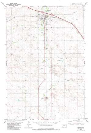
Wibaux Topo Map Montana
To zoom in, hover over the map of Wibaux
USGS Topo Quad 46104h2 - 1:24,000 scale
| Topo Map Name: | Wibaux |
| USGS Topo Quad ID: | 46104h2 |
| Print Size: | ca. 21 1/4" wide x 27" high |
| Southeast Coordinates: | 46.875° N latitude / 104.125° W longitude |
| Map Center Coordinates: | 46.9375° N latitude / 104.1875° W longitude |
| U.S. State: | MT |
| Filename: | o46104h2.jpg |
| Download Map JPG Image: | Wibaux topo map 1:24,000 scale |
| Map Type: | Topographic |
| Topo Series: | 7.5´ |
| Map Scale: | 1:24,000 |
| Source of Map Images: | United States Geological Survey (USGS) |
| Alternate Map Versions: |
Wibaux MT 1982, updated 1982 Download PDF Buy paper map Wibaux MT 2011 Download PDF Buy paper map Wibaux MT 2014 Download PDF Buy paper map |
1:24,000 Topo Quads surrounding Wibaux
> Back to 46104e1 at 1:100,000 scale
> Back to 46104a1 at 1:250,000 scale
> Back to U.S. Topo Maps home
Wibaux topo map: Gazetteer
Wibaux: Crossings
Interchange 241 elevation 804m 2637′Interchange 242 elevation 831m 2726′
Wibaux: Dams
Knight Dam elevation 839m 2752′Wibaux: Parks
Carol Park elevation 821m 2693′Pierre Wibaux Historical Marker elevation 810m 2657′
Pierre Wibaux Monument elevation 826m 2709′
Wibaux City Park elevation 810m 2657′
Wibaux: Populated Places
Maus Trailer Court elevation 810m 2657′Wibaux elevation 809m 2654′
Yates elevation 848m 2782′
Wibaux: Post Offices
Wibaux Post Office elevation 810m 2657′Wibaux: Streams
Brophy Creek elevation 821m 2693′Duck Creek elevation 834m 2736′
Duck Creek elevation 842m 2762′
Spring Creek elevation 830m 2723′
Yates Creek elevation 806m 2644′
Wibaux: Summits
Baird Butte elevation 899m 2949′Wibaux: Wells
04N36E24DAAA01 Well elevation 832m 2729′13N59E01BAAA01 Well elevation 841m 2759′
13N59E10DAAA01 Well elevation 846m 2775′
13N59E13BCBB01 Well elevation 842m 2762′
13N60E06CBBB01 Well elevation 826m 2709′
13N60E07CB__01 Well elevation 846m 2775′
14N59E10CDA_01 Well elevation 837m 2746′
14N59E11DADB01 Well elevation 870m 2854′
14N59E12CBD_01 Well elevation 816m 2677′
14N59E15ABBB01 Well elevation 860m 2821′
14N59E23AADA01 Well elevation 830m 2723′
14N59E34DD__01 Well elevation 873m 2864′
14N59E35DDD_01 Well elevation 854m 2801′
14N60E07BDA_01 Well elevation 816m 2677′
14N60E20CCC_01 Well elevation 851m 2791′
Wibaux digital topo map on disk
Buy this Wibaux topo map showing relief, roads, GPS coordinates and other geographical features, as a high-resolution digital map file on DVD:
Eastern Montana & Western North Dakota
Buy digital topo maps: Eastern Montana & Western North Dakota


