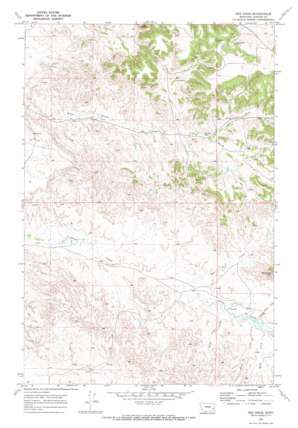
Red Knob Topo Map Montana
To zoom in, hover over the map of Red Knob
USGS Topo Quad 46105c2 - 1:24,000 scale
| Topo Map Name: | Red Knob |
| USGS Topo Quad ID: | 46105c2 |
| Print Size: | ca. 21 1/4" wide x 27" high |
| Southeast Coordinates: | 46.25° N latitude / 105.125° W longitude |
| Map Center Coordinates: | 46.3125° N latitude / 105.1875° W longitude |
| U.S. State: | MT |
| Filename: | o46105c2.jpg |
| Download Map JPG Image: | Red Knob topo map 1:24,000 scale |
| Map Type: | Topographic |
| Topo Series: | 7.5´ |
| Map Scale: | 1:24,000 |
| Source of Map Images: | United States Geological Survey (USGS) |
| Alternate Map Versions: |
Red Knob MT 1969, updated 1973 Download PDF Buy paper map Red Knob MT 2011 Download PDF Buy paper map Red Knob MT 2014 Download PDF Buy paper map |
1:24,000 Topo Quads surrounding Red Knob
> Back to 46105a1 at 1:100,000 scale
> Back to 46104a1 at 1:250,000 scale
> Back to U.S. Topo Maps home
Red Knob topo map: Gazetteer
Red Knob: Streams
Alice Creek elevation 813m 2667′Bert Creek elevation 818m 2683′
Home Creek elevation 818m 2683′
North Fork Horse Creek elevation 878m 2880′
North Home Creek elevation 820m 2690′
Tub S Creek elevation 802m 2631′
Red Knob: Summits
Red Knob elevation 966m 3169′Red Knob: Wells
06N52E05DCDC01 Well elevation 831m 2726′06N53E18ADCB01 Well elevation 831m 2726′
06N53E18BDCB01 Well elevation 812m 2664′
06N53E21CBCB01 Well elevation 853m 2798′
07N52E21DDCB01 Well elevation 809m 2654′
07N52E26BCBA01 Well elevation 848m 2782′
07N52E29CDDB01 Well elevation 838m 2749′
07N53E07CABB01 Well elevation 945m 3100′
07N53E23AAAA01 Well elevation 892m 2926′
07N53E30DC__01 Well elevation 898m 2946′
Red Knob digital topo map on disk
Buy this Red Knob topo map showing relief, roads, GPS coordinates and other geographical features, as a high-resolution digital map file on DVD:
Eastern Montana & Western North Dakota
Buy digital topo maps: Eastern Montana & Western North Dakota


