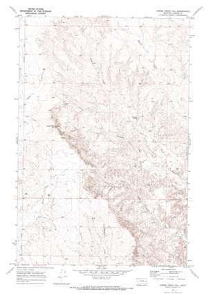
Horse Creek Hill Topo Map Montana
To zoom in, hover over the map of Horse Creek Hill
USGS Topo Quad 46105f8 - 1:24,000 scale
| Topo Map Name: | Horse Creek Hill |
| USGS Topo Quad ID: | 46105f8 |
| Print Size: | ca. 21 1/4" wide x 27" high |
| Southeast Coordinates: | 46.625° N latitude / 105.875° W longitude |
| Map Center Coordinates: | 46.6875° N latitude / 105.9375° W longitude |
| U.S. State: | MT |
| Filename: | o46105f8.jpg |
| Download Map JPG Image: | Horse Creek Hill topo map 1:24,000 scale |
| Map Type: | Topographic |
| Topo Series: | 7.5´ |
| Map Scale: | 1:24,000 |
| Source of Map Images: | United States Geological Survey (USGS) |
| Alternate Map Versions: |
Horse Creek Hill MT 1969, updated 1973 Download PDF Buy paper map Horse Creek Hill MT 2011 Download PDF Buy paper map Horse Creek Hill MT 2014 Download PDF Buy paper map |
1:24,000 Topo Quads surrounding Horse Creek Hill
> Back to 46105e1 at 1:100,000 scale
> Back to 46104a1 at 1:250,000 scale
> Back to U.S. Topo Maps home
Horse Creek Hill topo map: Gazetteer
Horse Creek Hill: Dams
Cap Rock Number 1 Dam elevation 877m 2877′Horse Creek Hill: Populated Places
Hilcrest (historical) elevation 893m 2929′Horse Creek Hill: Post Offices
Hillcrest Post Office (historical) elevation 893m 2929′Meredith Post Office (historical) elevation 917m 3008′
Horse Creek Hill: Springs
Clevenger Spring elevation 835m 2739′Horse Creek Hill: Streams
Thompson Creek elevation 797m 2614′Horse Creek Hill: Summits
Horse Creek Hill elevation 955m 3133′Horse Creek Hill: Wells
10N46E06DBCC01 Well elevation 870m 2854′10N46E06DBCC02 Well elevation 870m 2854′
10N46E08CCCC01 Well elevation 897m 2942′
11N46E07CBCB01 Well elevation 920m 3018′
11N46E07CBCC01 Well elevation 918m 3011′
11N46E07DBAB01 Well elevation 916m 3005′
11N46E09BDBB01 Well elevation 858m 2814′
11N46E17BABC01 Well elevation 894m 2933′
11N46E19BBDB01 Well elevation 908m 2979′
11N46E31CCBD01 Well elevation 899m 2949′
11N46E31DDDB01 Well elevation 884m 2900′
11N46E33CCAB01 Well elevation 925m 3034′
22N46E21DC__10 Well elevation 865m 2837′
Horse Creek Hill digital topo map on disk
Buy this Horse Creek Hill topo map showing relief, roads, GPS coordinates and other geographical features, as a high-resolution digital map file on DVD:
Eastern Montana & Western North Dakota
Buy digital topo maps: Eastern Montana & Western North Dakota


