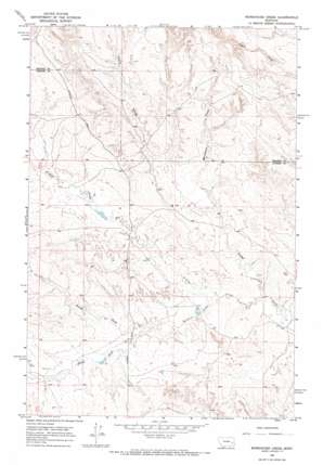
Morehouse Creek Topo Map Montana
To zoom in, hover over the map of Morehouse Creek
USGS Topo Quad 46105g7 - 1:24,000 scale
| Topo Map Name: | Morehouse Creek |
| USGS Topo Quad ID: | 46105g7 |
| Print Size: | ca. 21 1/4" wide x 27" high |
| Southeast Coordinates: | 46.75° N latitude / 105.75° W longitude |
| Map Center Coordinates: | 46.8125° N latitude / 105.8125° W longitude |
| U.S. State: | MT |
| Filename: | o46105g7.jpg |
| Download Map JPG Image: | Morehouse Creek topo map 1:24,000 scale |
| Map Type: | Topographic |
| Topo Series: | 7.5´ |
| Map Scale: | 1:24,000 |
| Source of Map Images: | United States Geological Survey (USGS) |
| Alternate Map Versions: |
Morehouse Creek MT 1965, updated 1969 Download PDF Buy paper map Morehouse Creek MT 2011 Download PDF Buy paper map Morehouse Creek MT 2014 Download PDF Buy paper map |
1:24,000 Topo Quads surrounding Morehouse Creek
> Back to 46105e1 at 1:100,000 scale
> Back to 46104a1 at 1:250,000 scale
> Back to U.S. Topo Maps home
Morehouse Creek topo map: Gazetteer
Morehouse Creek: Dams
T-Diamond Number 1 Dam elevation 852m 2795′Morehouse Creek: Streams
Bachelor Creek elevation 823m 2700′Finley Creek elevation 815m 2673′
Morehouse Creek elevation 837m 2746′
North Fork Bachelor Creek elevation 834m 2736′
South Fork Bachelor Creek elevation 834m 2736′
Morehouse Creek: Wells
12N45E20BCCB01 Well elevation 868m 2847′12N47E04AABC01 Well elevation 859m 2818′
12N47E20BCCB01 Well elevation 869m 2851′
12N47E24DBBA01 Well elevation 814m 2670′
12N47E30DAAB01 Well elevation 868m 2847′
12N47E34DABA01 Well elevation 887m 2910′
13N46E24DA__01 Well elevation 899m 2949′
13N46E25DBBC01 Well elevation 904m 2965′
13N47E29CCAD01 Well elevation 885m 2903′
13N47E31CDAD01 Well elevation 881m 2890′
Morehouse Creek digital topo map on disk
Buy this Morehouse Creek topo map showing relief, roads, GPS coordinates and other geographical features, as a high-resolution digital map file on DVD:
Eastern Montana & Western North Dakota
Buy digital topo maps: Eastern Montana & Western North Dakota


