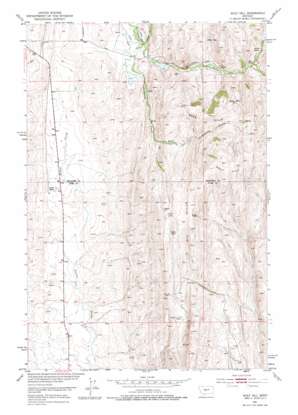
Wolf Hill Topo Map Montana
To zoom in, hover over the map of Wolf Hill
USGS Topo Quad 46110b6 - 1:24,000 scale
| Topo Map Name: | Wolf Hill |
| USGS Topo Quad ID: | 46110b6 |
| Print Size: | ca. 21 1/4" wide x 27" high |
| Southeast Coordinates: | 46.125° N latitude / 110.625° W longitude |
| Map Center Coordinates: | 46.1875° N latitude / 110.6875° W longitude |
| U.S. State: | MT |
| Filename: | o46110b6.jpg |
| Download Map JPG Image: | Wolf Hill topo map 1:24,000 scale |
| Map Type: | Topographic |
| Topo Series: | 7.5´ |
| Map Scale: | 1:24,000 |
| Source of Map Images: | United States Geological Survey (USGS) |
| Alternate Map Versions: |
Wolf Hill MT 1951, updated 1953 Download PDF Buy paper map Wolf Hill MT 1951, updated 1976 Download PDF Buy paper map Wolf Hill MT 2011 Download PDF Buy paper map Wolf Hill MT 2014 Download PDF Buy paper map |
1:24,000 Topo Quads surrounding Wolf Hill
> Back to 46110a1 at 1:100,000 scale
> Back to 46110a1 at 1:250,000 scale
> Back to U.S. Topo Maps home
Wolf Hill topo map: Gazetteer
Wolf Hill: Dams
Kiff Reservoir 1 Dam elevation 1697m 5567′Kiff Reservoir 2 Dam elevation 1702m 5583′
Lucas Number 2 Dam elevation 1729m 5672′
Lucas Number 3 Dam elevation 1723m 5652′
Wolf Hill: Oilfields
Oil Hills elevation 1941m 6368′Wolf Hill: Populated Places
Staley Place elevation 1757m 5764′Tyman Place elevation 1815m 5954′
Wolf Hill: Post Offices
Cleora Post Office (historical) elevation 1651m 5416′Wolf Hill: Streams
Billy Creek elevation 1732m 5682′Canyon Creek elevation 1682m 5518′
Cottonwood Creek elevation 1702m 5583′
Wolf Hill: Summits
Rees Hills elevation 1927m 6322′Wolf Hill elevation 2029m 6656′
Wolf Hill: Wells
04N09E06B___01 Well elevation 1780m 5839′05N09E21B___01 Well elevation 1656m 5433′
05N09E24D___01 Well elevation 1956m 6417′
05N09E26A___01 Well elevation 1841m 6040′
05N09E26D___01 Well elevation 1811m 5941′
06N08E28CA__01 Well elevation 1669m 5475′
06N08E34B___01 Well elevation 1703m 5587′
Wolf Hill digital topo map on disk
Buy this Wolf Hill topo map showing relief, roads, GPS coordinates and other geographical features, as a high-resolution digital map file on DVD:


