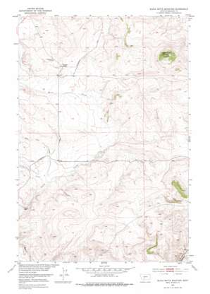
Black Butte Mountain Topo Map Montana
To zoom in, hover over the map of Black Butte Mountain
USGS Topo Quad 46110c8 - 1:24,000 scale
| Topo Map Name: | Black Butte Mountain |
| USGS Topo Quad ID: | 46110c8 |
| Print Size: | ca. 21 1/4" wide x 27" high |
| Southeast Coordinates: | 46.25° N latitude / 110.875° W longitude |
| Map Center Coordinates: | 46.3125° N latitude / 110.9375° W longitude |
| U.S. State: | MT |
| Filename: | o46110c8.jpg |
| Download Map JPG Image: | Black Butte Mountain topo map 1:24,000 scale |
| Map Type: | Topographic |
| Topo Series: | 7.5´ |
| Map Scale: | 1:24,000 |
| Source of Map Images: | United States Geological Survey (USGS) |
| Alternate Map Versions: |
Black Butte Mountain MT 1951, updated 1953 Download PDF Buy paper map Black Butte Mountain MT 1951, updated 1976 Download PDF Buy paper map Black Butte Mountain MT 2011 Download PDF Buy paper map Black Butte Mountain MT 2014 Download PDF Buy paper map |
1:24,000 Topo Quads surrounding Black Butte Mountain
> Back to 46110a1 at 1:100,000 scale
> Back to 46110a1 at 1:250,000 scale
> Back to U.S. Topo Maps home
Black Butte Mountain topo map: Gazetteer
Black Butte Mountain: Mines
A-C Ranch Mine elevation 1734m 5688′Copper Mine elevation 1734m 5688′
Black Butte Mountain: Populated Places
Moyne elevation 1594m 5229′Black Butte Mountain: Post Offices
Minden Post Office (historical) elevation 1594m 5229′Black Butte Mountain: Streams
Badger Creek elevation 1717m 5633′Faulkner Creek elevation 1632m 5354′
Mike Day Creek elevation 1633m 5357′
Black Butte Mountain: Summits
Black Butte Mountain elevation 1961m 6433′Black Butte Mountain digital topo map on disk
Buy this Black Butte Mountain topo map showing relief, roads, GPS coordinates and other geographical features, as a high-resolution digital map file on DVD:


