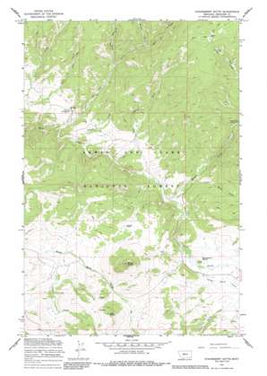
Strawberry Butte Topo Map Montana
To zoom in, hover over the map of Strawberry Butte
USGS Topo Quad 46110g8 - 1:24,000 scale
| Topo Map Name: | Strawberry Butte |
| USGS Topo Quad ID: | 46110g8 |
| Print Size: | ca. 21 1/4" wide x 27" high |
| Southeast Coordinates: | 46.75° N latitude / 110.875° W longitude |
| Map Center Coordinates: | 46.8125° N latitude / 110.9375° W longitude |
| U.S. State: | MT |
| Filename: | o46110g8.jpg |
| Download Map JPG Image: | Strawberry Butte topo map 1:24,000 scale |
| Map Type: | Topographic |
| Topo Series: | 7.5´ |
| Map Scale: | 1:24,000 |
| Source of Map Images: | United States Geological Survey (USGS) |
| Alternate Map Versions: |
Strawberry Butte MT 1967, updated 1969 Download PDF Buy paper map Strawberry Butte MT 1967, updated 1985 Download PDF Buy paper map Strawberry Butte MT 1995, updated 1997 Download PDF Buy paper map Strawberry Butte MT 2011 Download PDF Buy paper map Strawberry Butte MT 2014 Download PDF Buy paper map |
| FStopo: | US Forest Service topo Strawberry Butte is available: Download FStopo PDF Download FStopo TIF |
1:24,000 Topo Quads surrounding Strawberry Butte
> Back to 46110e1 at 1:100,000 scale
> Back to 46110a1 at 1:250,000 scale
> Back to U.S. Topo Maps home
Strawberry Butte topo map: Gazetteer
Strawberry Butte: Flats
Allan Park elevation 2232m 7322′Strawberry Butte: Gaps
Moose Pass elevation 1849m 6066′Strawberry Butte: Mines
Iron Butte Mine elevation 1903m 6243′Strawberry Butte: Streams
Calf Creek elevation 1605m 5265′Cameron Creek elevation 1620m 5314′
Copper Creek elevation 1671m 5482′
East Fork Calf Creek elevation 1828m 5997′
Indian Creek elevation 1641m 5383′
Little Moose Creek elevation 1700m 5577′
Little Sheep Creek elevation 1714m 5623′
Middle Fork Calf Creek elevation 1836m 6023′
Moose Creek elevation 1676m 5498′
West Fork Calf Creek elevation 1737m 5698′
Strawberry Butte: Summits
Black Butte elevation 2065m 6774′Iron Butte elevation 1954m 6410′
Strawberry Butte elevation 1780m 5839′
Strawberry Butte digital topo map on disk
Buy this Strawberry Butte topo map showing relief, roads, GPS coordinates and other geographical features, as a high-resolution digital map file on DVD:


