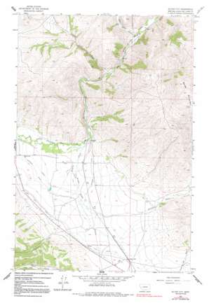
Silver City Topo Map Montana
To zoom in, hover over the map of Silver City
USGS Topo Quad 46112g2 - 1:24,000 scale
| Topo Map Name: | Silver City |
| USGS Topo Quad ID: | 46112g2 |
| Print Size: | ca. 21 1/4" wide x 27" high |
| Southeast Coordinates: | 46.75° N latitude / 112.125° W longitude |
| Map Center Coordinates: | 46.8125° N latitude / 112.1875° W longitude |
| U.S. State: | MT |
| Filename: | o46112g2.jpg |
| Download Map JPG Image: | Silver City topo map 1:24,000 scale |
| Map Type: | Topographic |
| Topo Series: | 7.5´ |
| Map Scale: | 1:24,000 |
| Source of Map Images: | United States Geological Survey (USGS) |
| Alternate Map Versions: |
Silver City MT 1962, updated 1984 Download PDF Buy paper map Silver City MT 1962, updated 1991 Download PDF Buy paper map Silver City MT 2011 Download PDF Buy paper map Silver City MT 2014 Download PDF Buy paper map |
1:24,000 Topo Quads surrounding Silver City
> Back to 46112e1 at 1:100,000 scale
> Back to 46112a1 at 1:250,000 scale
> Back to U.S. Topo Maps home
Silver City topo map: Gazetteer
Silver City: Canals
Gans Klein Ditch elevation 1331m 4366′Justisson Ditch elevation 1301m 4268′
Vincent Ditch elevation 1295m 4248′
Silver City: Mines
Argo Millsite elevation 1445m 4740′Silver City: Populated Places
Silver City elevation 1323m 4340′Trinity (historical) elevation 1341m 4399′
Silver City: Post Offices
Silver Post Office (historical) elevation 1323m 4340′Silver City: Streams
Big Sheep Creek elevation 1221m 4005′Little Sheep Creek elevation 1238m 4061′
Trinity Creek elevation 1270m 4166′
Willow Creek elevation 1275m 4183′
Silver City: Summits
Baldy Mountain elevation 1868m 6128′Silver City digital topo map on disk
Buy this Silver City topo map showing relief, roads, GPS coordinates and other geographical features, as a high-resolution digital map file on DVD:


