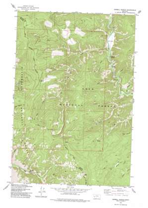
Sawmill Saddle Topo Map Montana
To zoom in, hover over the map of Sawmill Saddle
USGS Topo Quad 46113d7 - 1:24,000 scale
| Topo Map Name: | Sawmill Saddle |
| USGS Topo Quad ID: | 46113d7 |
| Print Size: | ca. 21 1/4" wide x 27" high |
| Southeast Coordinates: | 46.375° N latitude / 113.75° W longitude |
| Map Center Coordinates: | 46.4375° N latitude / 113.8125° W longitude |
| U.S. State: | MT |
| Filename: | o46113d7.jpg |
| Download Map JPG Image: | Sawmill Saddle topo map 1:24,000 scale |
| Map Type: | Topographic |
| Topo Series: | 7.5´ |
| Map Scale: | 1:24,000 |
| Source of Map Images: | United States Geological Survey (USGS) |
| Alternate Map Versions: |
Sawmill Saddle MT 1974, updated 1977 Download PDF Buy paper map Sawmill Saddle MT 1999, updated 2003 Download PDF Buy paper map Sawmill Saddle MT 2011 Download PDF Buy paper map Sawmill Saddle MT 2014 Download PDF Buy paper map |
| FStopo: | US Forest Service topo Sawmill Saddle is available: Download FStopo PDF Download FStopo TIF |
1:24,000 Topo Quads surrounding Sawmill Saddle
> Back to 46113a1 at 1:100,000 scale
> Back to 46112a1 at 1:250,000 scale
> Back to U.S. Topo Maps home
Sawmill Saddle topo map: Gazetteer
Sawmill Saddle: Gaps
Sawmill Saddle elevation 2013m 6604′Sawmill Saddle: Streams
Alder Creek elevation 1307m 4288′Arastra Creek elevation 1590m 5216′
Chelan Creek elevation 1315m 4314′
Cougar Creek elevation 1322m 4337′
Lavina Creek elevation 1510m 4954′
Little Hogback Creek elevation 1339m 4393′
West Fork Alder Creek elevation 1420m 4658′
Sawmill Saddle: Summits
Eagle Point elevation 2432m 7979′Green Mountain elevation 2090m 6856′
Sawmill Saddle: Valleys
Miller Gulch elevation 1305m 4281′Selmo Gulch elevation 1514m 4967′
Tekoa Gulch elevation 1333m 4373′
Sawmill Saddle digital topo map on disk
Buy this Sawmill Saddle topo map showing relief, roads, GPS coordinates and other geographical features, as a high-resolution digital map file on DVD:


