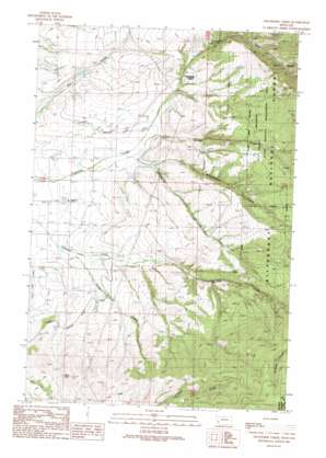
Grayhorse Creek Topo Map Montana
To zoom in, hover over the map of Grayhorse Creek
USGS Topo Quad 46113e8 - 1:24,000 scale
| Topo Map Name: | Grayhorse Creek |
| USGS Topo Quad ID: | 46113e8 |
| Print Size: | ca. 21 1/4" wide x 27" high |
| Southeast Coordinates: | 46.5° N latitude / 113.875° W longitude |
| Map Center Coordinates: | 46.5625° N latitude / 113.9375° W longitude |
| U.S. State: | MT |
| Filename: | o46113e8.jpg |
| Download Map JPG Image: | Grayhorse Creek topo map 1:24,000 scale |
| Map Type: | Topographic |
| Topo Series: | 7.5´ |
| Map Scale: | 1:24,000 |
| Source of Map Images: | United States Geological Survey (USGS) |
| Alternate Map Versions: |
Grayhorse Creek MT 1989, updated 1989 Download PDF Buy paper map Grayhorse Creek MT 1998, updated 2002 Download PDF Buy paper map Grayhorse Creek MT 2011 Download PDF Buy paper map Grayhorse Creek MT 2014 Download PDF Buy paper map |
| FStopo: | US Forest Service topo Grayhorse Creek is available: Download FStopo PDF Download FStopo TIF |
1:24,000 Topo Quads surrounding Grayhorse Creek
> Back to 46113e1 at 1:100,000 scale
> Back to 46112a1 at 1:250,000 scale
> Back to U.S. Topo Maps home
Grayhorse Creek topo map: Gazetteer
Grayhorse Creek: Mines
Iron Cap Mine elevation 1717m 5633′Three Mile Creek Mine elevation 1399m 4589′
Grayhorse Creek: Parks
Threemile State Wildlife Management Area elevation 1567m 5141′Grayhorse Creek: Streams
Grayhorse Creek elevation 1093m 3585′Left Fork Three Mile Creek elevation 1182m 3877′
Middle Fork Three Mile Creek elevation 1185m 3887′
Sheep Creek elevation 1080m 3543′
Wheelbarrow Creek elevation 1141m 3743′
Grayhorse Creek: Summits
Reed Butte elevation 1442m 4730′Grayhorse Creek: Valleys
Spring Gulch elevation 1153m 3782′Grayhorse Creek: Wells
09N19W10BB__01 Well elevation 1095m 3592′09N19W14CBCC01 Well elevation 1162m 3812′
09N19W14CBCD01 Well elevation 1163m 3815′
Grayhorse Creek digital topo map on disk
Buy this Grayhorse Creek topo map showing relief, roads, GPS coordinates and other geographical features, as a high-resolution digital map file on DVD:


