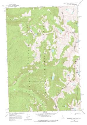
White Sand Lake Topo Map Idaho
To zoom in, hover over the map of White Sand Lake
USGS Topo Quad 46114d4 - 1:24,000 scale
| Topo Map Name: | White Sand Lake |
| USGS Topo Quad ID: | 46114d4 |
| Print Size: | ca. 21 1/4" wide x 27" high |
| Southeast Coordinates: | 46.375° N latitude / 114.375° W longitude |
| Map Center Coordinates: | 46.4375° N latitude / 114.4375° W longitude |
| U.S. States: | ID, MT |
| Filename: | o46114d4.jpg |
| Download Map JPG Image: | White Sand Lake topo map 1:24,000 scale |
| Map Type: | Topographic |
| Topo Series: | 7.5´ |
| Map Scale: | 1:24,000 |
| Source of Map Images: | United States Geological Survey (USGS) |
| Alternate Map Versions: |
White Sand Lake ID 1966, updated 1969 Download PDF Buy paper map White Sand Lake ID 1966, updated 1978 Download PDF Buy paper map White Sand Lake ID 1994, updated 1997 Download PDF Buy paper map White Sand Lake ID 1994, updated 1997 Download PDF Buy paper map White Sand Lake ID 2011 Download PDF Buy paper map White Sand Lake ID 2013 Download PDF Buy paper map |
| FStopo: | US Forest Service topo White Sand Lake is available: Download FStopo PDF Download FStopo TIF |
1:24,000 Topo Quads surrounding White Sand Lake
> Back to 46114a1 at 1:100,000 scale
> Back to 46114a1 at 1:250,000 scale
> Back to U.S. Topo Maps home
White Sand Lake topo map: Gazetteer
White Sand Lake: Gaps
Bear Creek Pass elevation 2371m 7778′Bear Creek Pass elevation 2387m 7831′
Packbox Pass elevation 2193m 7194′
Packbox Pass elevation 2174m 7132′
White Sand Lake: Lakes
Bryan Lake elevation 2066m 6778′Dan Lake elevation 2056m 6745′
Dodge Lake elevation 2118m 6948′
Garnet Lake elevation 2041m 6696′
Maud Lake elevation 1970m 6463′
North Totem Lake elevation 2230m 7316′
Parachute Lake elevation 1806m 5925′
Pearl Lake elevation 2165m 7103′
Totem Peak Lake elevation 2372m 7782′
Two Lakes elevation 2200m 7217′
White Sand Lake elevation 2126m 6975′
White Sand Lake: Ridges
Dan Ridge elevation 2236m 7335′White Sand Lake: Streams
Big Flat Creek elevation 1478m 4849′Garnet Creek elevation 1649m 5410′
Heather Creek elevation 1527m 5009′
Packbox Creek elevation 1723m 5652′
White Sand Lake: Summits
Totem Peak elevation 2514m 8248′White Sand Lake digital topo map on disk
Buy this White Sand Lake topo map showing relief, roads, GPS coordinates and other geographical features, as a high-resolution digital map file on DVD:


