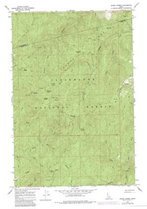
Snowy Summit Topo Map Idaho
To zoom in, hover over the map of Snowy Summit
USGS Topo Quad 46115d5 - 1:24,000 scale
| Topo Map Name: | Snowy Summit |
| USGS Topo Quad ID: | 46115d5 |
| Print Size: | ca. 21 1/4" wide x 27" high |
| Southeast Coordinates: | 46.375° N latitude / 115.5° W longitude |
| Map Center Coordinates: | 46.4375° N latitude / 115.5625° W longitude |
| U.S. State: | ID |
| Filename: | o46115d5.jpg |
| Download Map JPG Image: | Snowy Summit topo map 1:24,000 scale |
| Map Type: | Topographic |
| Topo Series: | 7.5´ |
| Map Scale: | 1:24,000 |
| Source of Map Images: | United States Geological Survey (USGS) |
| Alternate Map Versions: |
Snowy Summit ID 1966, updated 1968 Download PDF Buy paper map Snowy Summit ID 1966, updated 1984 Download PDF Buy paper map Snowy Summit ID 1994, updated 1997 Download PDF Buy paper map Snowy Summit ID 2011 Download PDF Buy paper map Snowy Summit ID 2013 Download PDF Buy paper map |
| FStopo: | US Forest Service topo Snowy Summit is available: Download FStopo PDF Download FStopo TIF |
1:24,000 Topo Quads surrounding Snowy Summit
> Back to 46115a1 at 1:100,000 scale
> Back to 46114a1 at 1:250,000 scale
> Back to U.S. Topo Maps home
Snowy Summit topo map: Gazetteer
Snowy Summit: Flats
Soldier Meadows elevation 1722m 5649′Snowy Summit: Gaps
Beaver Dam Saddle elevation 1614m 5295′Beaver Saddle elevation 1564m 5131′
Snowy Summit: Ridges
Rocky Ridge elevation 1993m 6538′Snowy Summit: Springs
Squawberry Spring elevation 1669m 5475′Snowy Summit: Streams
Beaver Dam Creek elevation 1403m 4603′Bess Creek elevation 1232m 4041′
Felix Creek elevation 1245m 4084′
Gass Creek elevation 1231m 4038′
Knoll Creek elevation 1306m 4284′
Obia Creek elevation 1194m 3917′
Prism Creek elevation 1206m 3956′
Tray Creek elevation 1267m 4156′
Yew Creek elevation 1220m 4002′
Zoe Creek elevation 1341m 4399′
Snowy Summit: Summits
Snowy Summit elevation 1843m 6046′Snowy Summit digital topo map on disk
Buy this Snowy Summit topo map showing relief, roads, GPS coordinates and other geographical features, as a high-resolution digital map file on DVD:


