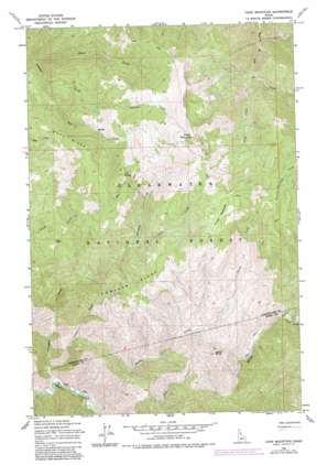
Cook Mountain Topo Map Idaho
To zoom in, hover over the map of Cook Mountain
USGS Topo Quad 46115e3 - 1:24,000 scale
| Topo Map Name: | Cook Mountain |
| USGS Topo Quad ID: | 46115e3 |
| Print Size: | ca. 21 1/4" wide x 27" high |
| Southeast Coordinates: | 46.5° N latitude / 115.25° W longitude |
| Map Center Coordinates: | 46.5625° N latitude / 115.3125° W longitude |
| U.S. State: | ID |
| Filename: | o46115e3.jpg |
| Download Map JPG Image: | Cook Mountain topo map 1:24,000 scale |
| Map Type: | Topographic |
| Topo Series: | 7.5´ |
| Map Scale: | 1:24,000 |
| Source of Map Images: | United States Geological Survey (USGS) |
| Alternate Map Versions: |
Cook Mountain ID 1965, updated 1967 Download PDF Buy paper map Cook Mountain ID 1965, updated 1984 Download PDF Buy paper map Cook Mountain ID 1994, updated 1997 Download PDF Buy paper map Cook Mountain ID 2011 Download PDF Buy paper map Cook Mountain ID 2014 Download PDF Buy paper map |
| FStopo: | US Forest Service topo Cook Mountain is available: Download FStopo PDF Download FStopo TIF |
1:24,000 Topo Quads surrounding Cook Mountain
> Back to 46115e1 at 1:100,000 scale
> Back to 46114a1 at 1:250,000 scale
> Back to U.S. Topo Maps home
Cook Mountain topo map: Gazetteer
Cook Mountain: Flats
Crater Meadows elevation 1821m 5974′Cook Mountain: Ridges
Buck Ridge elevation 1751m 5744′Johnagan Ridge elevation 1615m 5298′
Cook Mountain: Streams
Cook Creek elevation 1257m 4124′Crater Creek elevation 1403m 4603′
Davis Creek elevation 1049m 3441′
Fox Creek elevation 1122m 3681′
Johnagan Creek elevation 927m 3041′
Smith Creek elevation 963m 3159′
Tinkle Creek elevation 952m 3123′
Young Creek elevation 1321m 4333′
Cook Mountain: Summits
Cook Mountain elevation 1991m 6532′Fox Butte elevation 1931m 6335′
Smith Butte elevation 1636m 5367′
Cook Mountain digital topo map on disk
Buy this Cook Mountain topo map showing relief, roads, GPS coordinates and other geographical features, as a high-resolution digital map file on DVD:


