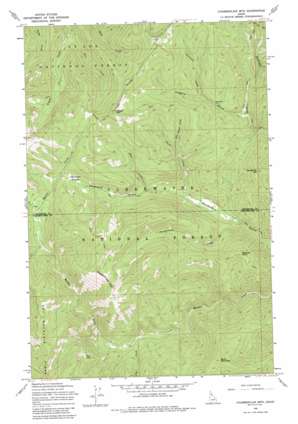
Chamberlain Mountain Topo Map Idaho
To zoom in, hover over the map of Chamberlain Mountain
USGS Topo Quad 46115h2 - 1:24,000 scale
| Topo Map Name: | Chamberlain Mountain |
| USGS Topo Quad ID: | 46115h2 |
| Print Size: | ca. 21 1/4" wide x 27" high |
| Southeast Coordinates: | 46.875° N latitude / 115.125° W longitude |
| Map Center Coordinates: | 46.9375° N latitude / 115.1875° W longitude |
| U.S. State: | ID |
| Filename: | o46115h2.jpg |
| Download Map JPG Image: | Chamberlain Mountain topo map 1:24,000 scale |
| Map Type: | Topographic |
| Topo Series: | 7.5´ |
| Map Scale: | 1:24,000 |
| Source of Map Images: | United States Geological Survey (USGS) |
| Alternate Map Versions: |
Chamberlain Mtn ID 1965, updated 1967 Download PDF Buy paper map Chamberlain Mtn ID 1965, updated 1985 Download PDF Buy paper map Chamberlain Mtn ID 1994, updated 1997 Download PDF Buy paper map Chamberlain Mountain ID 2011 Download PDF Buy paper map Chamberlain Mountain ID 2014 Download PDF Buy paper map |
| FStopo: | US Forest Service topo Chamberlain Mountain is available: Download FStopo PDF Download FStopo TIF |
1:24,000 Topo Quads surrounding Chamberlain Mountain
> Back to 46115e1 at 1:100,000 scale
> Back to 46114a1 at 1:250,000 scale
> Back to U.S. Topo Maps home
Chamberlain Mountain topo map: Gazetteer
Chamberlain Mountain: Flats
Chamberlain Meadows elevation 1650m 5413′Chamberlain Mountain: Lakes
Fly Lake elevation 1655m 5429′Chamberlain Mountain: Mines
Clearwater Mine elevation 1531m 5022′Chamberlain Mountain: Streams
Caledonia Creek elevation 1427m 4681′Chamberlain Creek elevation 1275m 4183′
Dave Ingram Creek elevation 1511m 4957′
Fall Creek elevation 1401m 4596′
Fly Creek elevation 1341m 4399′
Mill Creek elevation 1415m 4642′
Placer Creek elevation 1325m 4347′
Chamberlain Mountain: Summits
Birch Mountain elevation 1843m 6046′Chamberlain Mountain elevation 2017m 6617′
Gospel Hill elevation 1969m 6459′
Meadow Point elevation 1684m 5524′
Vanderbilt Hill elevation 1731m 5679′
Chamberlain Mountain: Valleys
Niagara Gulch elevation 1451m 4760′Chamberlain Mountain digital topo map on disk
Buy this Chamberlain Mountain topo map showing relief, roads, GPS coordinates and other geographical features, as a high-resolution digital map file on DVD:


