Captain John Rapids Topo Map Idaho
To zoom in, hover over the map of Captain John Rapids
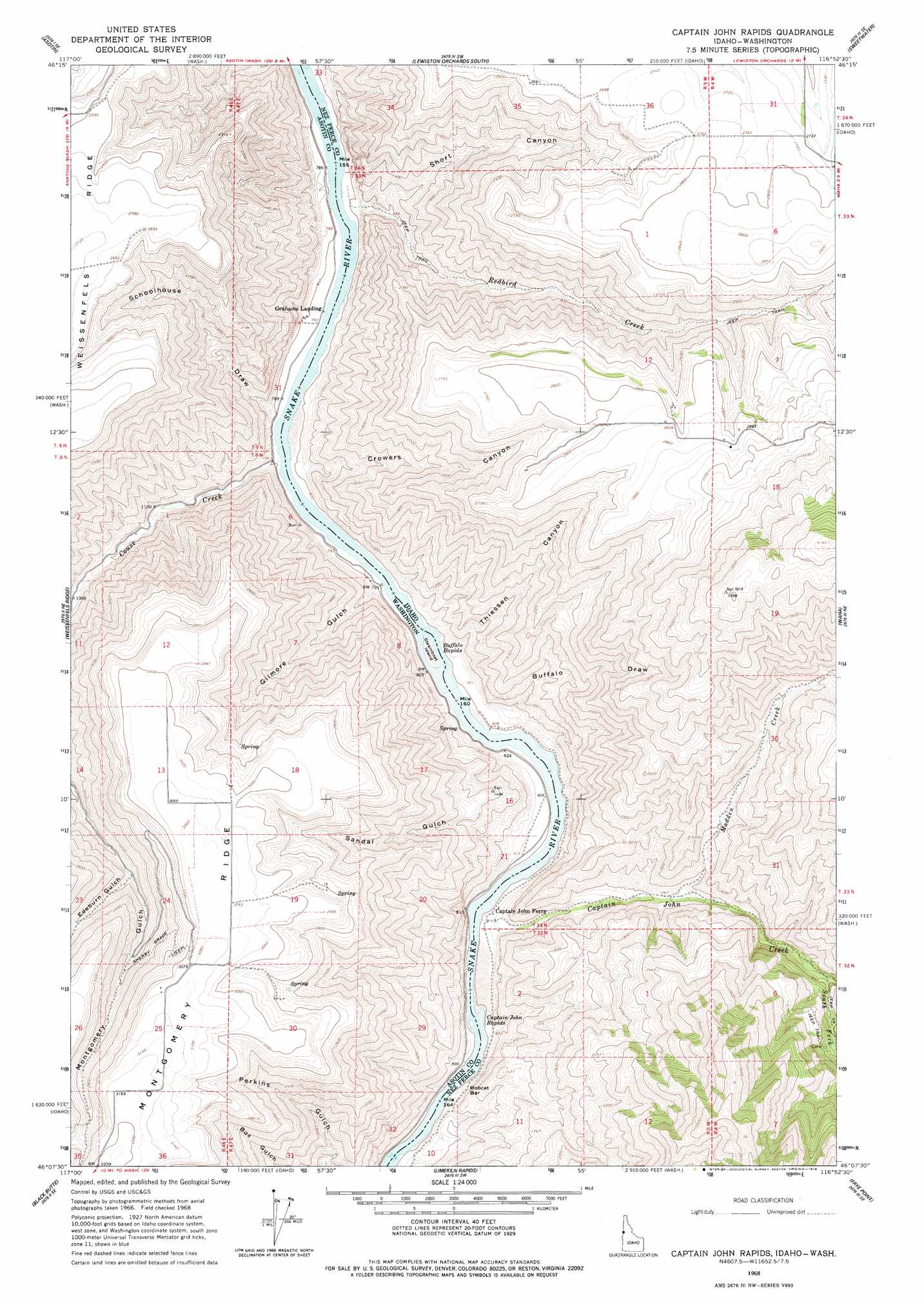
USGS Topo Quad 46116b8 - 1:24,000 scale
| Topo Map Name: | Captain John Rapids |
| USGS Topo Quad ID: | 46116b8 |
| Print Size: | ca. 21 1/4" wide x 27" high |
| Southeast Coordinates: | 46.125° N latitude / 116.875° W longitude |
| Map Center Coordinates: | 46.1875° N latitude / 116.9375° W longitude |
| U.S. States: | ID, WA |
| Filename: | o46116b8.jpg |
| Download Map JPG Image: | Captain John Rapids topo map 1:24,000 scale |
| Map Type: | Topographic |
| Topo Series: | 7.5´ |
| Map Scale: | 1:24,000 |
| Source of Map Images: | United States Geological Survey (USGS) |
| Alternate Map Versions: |
Captain John Rapids ID 1968, updated 1971 Download PDF Buy paper map Captain John Rapids ID 1968, updated 1978 Download PDF Buy paper map Captain John Rapids ID 2011 Download PDF Buy paper map Captain John Rapids ID 2013 Download PDF Buy paper map |
1:24,000 Topo Quads surrounding Captain John Rapids
Silcott Island |
Clarkston |
Lewiston Orchards North |
Lapwai |
Culdesac North |
Rockpile Creek |
Asotin |
Lewiston Orchards South |
Sweetwater |
Culdesac South |
Anatone |
Weissenfels Ridge |
Captain John Rapids |
Waha |
Winchester West |
Fields Spring |
Black Butte |
Limekiln Rapids |
Frye Point |
Hoover Point |
Paradise |
Teepee Butte |
Jim Creek Butte |
Wapshilla Creek |
Rattlesnake Ridge |
> Back to 46116a1 at 1:100,000 scale
> Back to 46116a1 at 1:250,000 scale
> Back to U.S. Topo Maps home
Captain John Rapids topo map: Gazetteer
Captain John Rapids: Bars
Bobcat Bar elevation 246m 807′Captain John Rapids: Islands
Steamboat Island elevation 239m 784′Captain John Rapids: Populated Places
Grahams Landing elevation 234m 767′Taplin elevation 257m 843′
Captain John Rapids: Rapids
Buffalo Rapids elevation 239m 784′Buffalo Rapids elevation 242m 793′
Captain John Rapids elevation 242m 793′
Captain John Rapids elevation 242m 793′
Captain John Rapids: Ridges
Montgomery Ridge elevation 941m 3087′Captain John Rapids: Streams
Captain John Creek elevation 247m 810′Couse Creek elevation 236m 774′
Madden Creek elevation 379m 1243′
Redbird Creek elevation 241m 790′
South Fork Captain John Creek elevation 548m 1797′
Captain John Rapids: Trails
Sherry Grade elevation 828m 2716′Captain John Rapids: Valleys
Buffalo Draw elevation 290m 951′Crowers Canyon elevation 266m 872′
Edeburn Gulch elevation 634m 2080′
Gilmore Gulch elevation 241m 790′
Sandal Gulch elevation 258m 846′
Schoolhouse Draw elevation 252m 826′
Short Canyon elevation 298m 977′
Thiessen Canyon elevation 281m 921′
Captain John Rapids digital topo map on disk
Buy this Captain John Rapids topo map showing relief, roads, GPS coordinates and other geographical features, as a high-resolution digital map file on DVD: