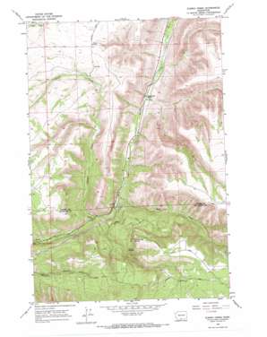
Kusshi Creek Topo Map Washington
To zoom in, hover over the map of Kusshi Creek
USGS Topo Quad 46120a5 - 1:24,000 scale
| Topo Map Name: | Kusshi Creek |
| USGS Topo Quad ID: | 46120a5 |
| Print Size: | ca. 21 1/4" wide x 27" high |
| Southeast Coordinates: | 46° N latitude / 120.5° W longitude |
| Map Center Coordinates: | 46.0625° N latitude / 120.5625° W longitude |
| U.S. State: | WA |
| Filename: | o46120a5.jpg |
| Download Map JPG Image: | Kusshi Creek topo map 1:24,000 scale |
| Map Type: | Topographic |
| Topo Series: | 7.5´ |
| Map Scale: | 1:24,000 |
| Source of Map Images: | United States Geological Survey (USGS) |
| Alternate Map Versions: |
Kusshi Creek WA 1965, updated 1966 Download PDF Buy paper map Kusshi Creek WA 2011 Download PDF Buy paper map Kusshi Creek WA 2013 Download PDF Buy paper map |
1:24,000 Topo Quads surrounding Kusshi Creek
> Back to 46120a1 at 1:100,000 scale
> Back to 46120a1 at 1:250,000 scale
> Back to U.S. Topo Maps home
Kusshi Creek topo map: Gazetteer
Kusshi Creek: Basins
Devils Pocket elevation 859m 2818′Kusshi Creek: Springs
County Line Spring elevation 1013m 3323′Highbridge Spring elevation 501m 1643′
Lane Spring elevation 763m 2503′
Kusshi Creek: Streams
Bull Creek elevation 560m 1837′Kusshi Creek elevation 592m 1942′
Kusshi Creek digital topo map on disk
Buy this Kusshi Creek topo map showing relief, roads, GPS coordinates and other geographical features, as a high-resolution digital map file on DVD:


