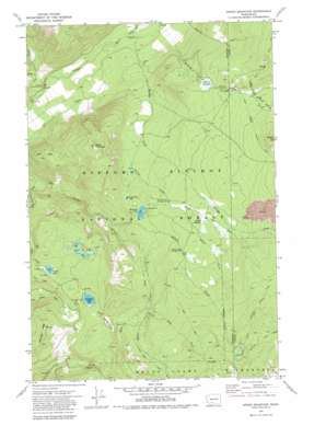
Green Mountain Topo Map Washington
To zoom in, hover over the map of Green Mountain
USGS Topo Quad 46121c5 - 1:24,000 scale
| Topo Map Name: | Green Mountain |
| USGS Topo Quad ID: | 46121c5 |
| Print Size: | ca. 21 1/4" wide x 27" high |
| Southeast Coordinates: | 46.25° N latitude / 121.5° W longitude |
| Map Center Coordinates: | 46.3125° N latitude / 121.5625° W longitude |
| U.S. State: | WA |
| Filename: | o46121c5.jpg |
| Download Map JPG Image: | Green Mountain topo map 1:24,000 scale |
| Map Type: | Topographic |
| Topo Series: | 7.5´ |
| Map Scale: | 1:24,000 |
| Source of Map Images: | United States Geological Survey (USGS) |
| Alternate Map Versions: |
Green Mountain WA 1970, updated 1974 Download PDF Buy paper map Green Mountain WA 1970, updated 1980 Download PDF Buy paper map Green Mountain WA 1994, updated 1996 Download PDF Buy paper map Green Mountain WA 2011 Download PDF Buy paper map Green Mountain WA 2014 Download PDF Buy paper map |
| FStopo: | US Forest Service topo Green Mountain is available: Download FStopo PDF Download FStopo TIF |
1:24,000 Topo Quads surrounding Green Mountain
> Back to 46121a1 at 1:100,000 scale
> Back to 46120a1 at 1:250,000 scale
> Back to U.S. Topo Maps home
Green Mountain topo map: Gazetteer
Green Mountain: Flats
Midway Meadows elevation 1315m 4314′Muddy Meadows elevation 1348m 4422′
Takh Takh Meadow elevation 1412m 4632′
Green Mountain: Lakes
Chain of Lakes elevation 1342m 4402′Green Mountain Lake elevation 1240m 4068′
Horseshoe Lake elevation 1265m 4150′
Olallie Lake elevation 1293m 4242′
Takhlakh Lake elevation 1338m 4389′
Green Mountain: Ridges
Babyshoe Ridge elevation 1422m 4665′Green Mountain: Streams
Cat Creek elevation 824m 2703′Chambers Creek elevation 924m 3031′
East Fork Adams Creek elevation 1376m 4514′
Killen Creek elevation 1086m 3562′
Midway Creek elevation 933m 3061′
Mouse Creek elevation 871m 2857′
Muddy Fork elevation 927m 3041′
Pimlico Creek elevation 924m 3031′
Sheep Creek elevation 841m 2759′
South Fork Spring Creek elevation 1319m 4327′
Spring Creek elevation 1176m 3858′
West Fork Adams Creek elevation 1225m 4019′
Green Mountain: Summits
Green Mountain elevation 1533m 5029′Potato Hill elevation 1639m 5377′
Green Mountain: Trails
Divide Camp Trail elevation 1590m 5216′Green Mountain digital topo map on disk
Buy this Green Mountain topo map showing relief, roads, GPS coordinates and other geographical features, as a high-resolution digital map file on DVD:


