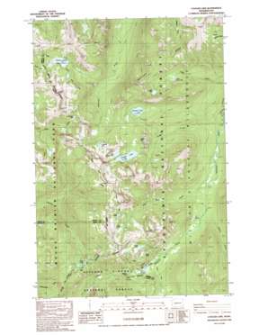
Cougar Lake Topo Map Washington
To zoom in, hover over the map of Cougar Lake
USGS Topo Quad 46121g4 - 1:24,000 scale
| Topo Map Name: | Cougar Lake |
| USGS Topo Quad ID: | 46121g4 |
| Print Size: | ca. 21 1/4" wide x 27" high |
| Southeast Coordinates: | 46.75° N latitude / 121.375° W longitude |
| Map Center Coordinates: | 46.8125° N latitude / 121.4375° W longitude |
| U.S. State: | WA |
| Filename: | o46121g4.jpg |
| Download Map JPG Image: | Cougar Lake topo map 1:24,000 scale |
| Map Type: | Topographic |
| Topo Series: | 7.5´ |
| Map Scale: | 1:24,000 |
| Source of Map Images: | United States Geological Survey (USGS) |
| Alternate Map Versions: |
Cougar Lake WA 1988, updated 1998 Download PDF Buy paper map Cougar Lake WA 2000, updated 2001 Download PDF Buy paper map Cougar Lake WA 2011 Download PDF Buy paper map Cougar Lake WA 2014 Download PDF Buy paper map |
| FStopo: | US Forest Service topo Cougar Lake is available: Download FStopo PDF Download FStopo TIF |
1:24,000 Topo Quads surrounding Cougar Lake
> Back to 46121e1 at 1:100,000 scale
> Back to 46120a1 at 1:250,000 scale
> Back to U.S. Topo Maps home
Cougar Lake topo map: Gazetteer
Cougar Lake: Basins
Big Basin elevation 1805m 5921′Cougar Lake: Forests
Gifford Pinchot National Forest elevation 1191m 3907′Cougar Lake: Gaps
Carlton Pass elevation 1266m 4153′Cougar Lake: Lakes
American Lake elevation 1605m 5265′Anderson Lake elevation 1631m 5351′
Buck Lake elevation 1425m 4675′
Cedar Lake elevation 1600m 5249′
Cougar Lake elevation 1530m 5019′
Crag Lake elevation 1532m 5026′
Dewey Lake elevation 1559m 5114′
Fish Lake elevation 1255m 4117′
Little Cougar Lake elevation 1531m 5022′
Lower Cedar Lake elevation 1446m 4744′
One Lake elevation 1542m 5059′
Swamp Lake elevation 1463m 4799′
Three Lakes elevation 1428m 4685′
Two Lakes elevation 1641m 5383′
Wildcat Lake elevation 1580m 5183′
Cougar Lake: Streams
Cougar Creek elevation 1098m 3602′Red Rock Creek elevation 1114m 3654′
Sheller Creek elevation 1160m 3805′
Cougar Lake: Summits
Crag Mountain elevation 1871m 6138′Cougar Lake: Trails
Bumping Lake Trail elevation 1117m 3664′Dewey Lake Trail elevation 1205m 3953′
Swamp Lake Trail elevation 1288m 4225′
Cougar Lake digital topo map on disk
Buy this Cougar Lake topo map showing relief, roads, GPS coordinates and other geographical features, as a high-resolution digital map file on DVD:


