Mount Brynion Topo Map Washington
To zoom in, hover over the map of Mount Brynion
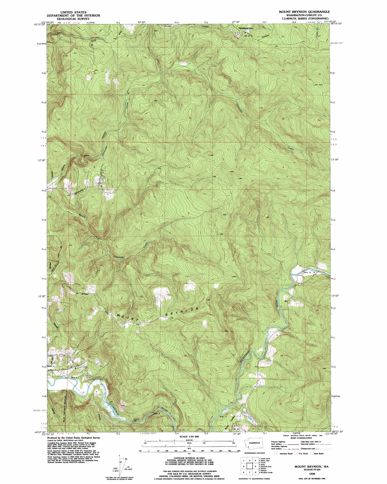
USGS Topo Quad 46122b7 - 1:24,000 scale
| Topo Map Name: | Mount Brynion |
| USGS Topo Quad ID: | 46122b7 |
| Print Size: | ca. 21 1/4" wide x 27" high |
| Southeast Coordinates: | 46.125° N latitude / 122.75° W longitude |
| Map Center Coordinates: | 46.1875° N latitude / 122.8125° W longitude |
| U.S. State: | WA |
| Filename: | o46122b7.jpg |
| Download Map JPG Image: | Mount Brynion topo map 1:24,000 scale |
| Map Type: | Topographic |
| Topo Series: | 7.5´ |
| Map Scale: | 1:24,000 |
| Source of Map Images: | United States Geological Survey (USGS) |
| Alternate Map Versions: |
Mt. Brynion WA 1953, updated 1955 Download PDF Buy paper map Mt. Brynion WA 1953, updated 1964 Download PDF Buy paper map Mt. Brynion WA 1953, updated 1971 Download PDF Buy paper map Mt. Brynion WA 1953, updated 1979 Download PDF Buy paper map Mount Brynion WA 1990, updated 1995 Download PDF Buy paper map Mount Brynion WA 2011 Download PDF Buy paper map Mount Brynion WA 2013 Download PDF Buy paper map |
1:24,000 Topo Quads surrounding Mount Brynion
Wildwood |
Winlock |
Toledo |
Eden Valley |
Hatchet Mountain |
Abernathy Mountain |
Castle Rock |
Silver Lake |
Toutle |
Toutle Mountain |
Coal Creek |
Kelso |
Mount Brynion |
Hemlock Pass |
Wolf Point |
Delena |
Rainier |
Kalama |
Woolford Creek |
Georges Peak |
Baker Point |
Trenholm |
Deer Island |
Woodland |
Ariel |
> Back to 46122a1 at 1:100,000 scale
> Back to 46122a1 at 1:250,000 scale
> Back to U.S. Topo Maps home
Mount Brynion topo map: Gazetteer
Mount Brynion: Dams
Coweman Gravel Pit Number One Dam elevation 11m 36′Coweman Gravel Pit Number Two Dam elevation 10m 32′
Mount Brynion: Populated Places
Headquarters elevation 245m 803′Mount Brynion: Streams
Goble Creek elevation 50m 164′Mount Brynion: Summits
Mount Brynion elevation 444m 1456′Mount Brynion digital topo map on disk
Buy this Mount Brynion topo map showing relief, roads, GPS coordinates and other geographical features, as a high-resolution digital map file on DVD: