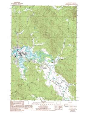
Raymond Topo Map Washington
To zoom in, hover over the map of Raymond
USGS Topo Quad 46123f6 - 1:24,000 scale
| Topo Map Name: | Raymond |
| USGS Topo Quad ID: | 46123f6 |
| Print Size: | ca. 21 1/4" wide x 27" high |
| Southeast Coordinates: | 46.625° N latitude / 123.625° W longitude |
| Map Center Coordinates: | 46.6875° N latitude / 123.6875° W longitude |
| U.S. State: | WA |
| Filename: | o46123f6.jpg |
| Download Map JPG Image: | Raymond topo map 1:24,000 scale |
| Map Type: | Topographic |
| Topo Series: | 7.5´ |
| Map Scale: | 1:24,000 |
| Source of Map Images: | United States Geological Survey (USGS) |
| Alternate Map Versions: |
Raymond WA 1986, updated 1986 Download PDF Buy paper map Raymond WA 1986, updated 1994 Download PDF Buy paper map Raymond WA 2011 Download PDF Buy paper map Raymond WA 2014 Download PDF Buy paper map |
1:24,000 Topo Quads surrounding Raymond
> Back to 46123e1 at 1:100,000 scale
> Back to 46122a1 at 1:250,000 scale
> Back to U.S. Topo Maps home
Raymond topo map: Gazetteer
Raymond: Dams
Butte Creek Reservoir Dam elevation 81m 265′Owens Ponds Dam elevation 21m 68′
Raymond Heights Reservoir Dam elevation 53m 173′
Shaudys Dam elevation 35m 114′
Raymond: Guts
Ellis Slough elevation 6m 19′Raymond: Lakes
Case Pond elevation 10m 32′Raymond: Parks
Willie Keils Grave State Park elevation 11m 36′Raymond: Populated Places
East Raymond elevation 23m 75′Raymond elevation 4m 13′
Willapa elevation 10m 32′
Raymond: Reservoirs
Butte Creek Reservoir elevation 81m 265′Owens Ponds elevation 21m 68′
Raymond Heights Reservoir elevation 53m 173′
Raymond: Streams
Beaver Creek elevation 5m 16′Butte Creek elevation 43m 141′
Donaldson Creek elevation 47m 154′
Elk Creek elevation 4m 13′
Ellsworth Creek elevation 7m 22′
Fairchild Creek elevation 15m 49′
Fall Creek elevation 46m 150′
Gamage Creek elevation 5m 16′
Howe Creek elevation 22m 72′
Rue Creek elevation 50m 164′
South Fork Willapa River elevation 4m 13′
Ward Creek elevation 5m 16′
Whitcomb Creek elevation 7m 22′
Wilson Creek elevation 9m 29′
Raymond: Valleys
Willapa Valley elevation 10m 32′Raymond digital topo map on disk
Buy this Raymond topo map showing relief, roads, GPS coordinates and other geographical features, as a high-resolution digital map file on DVD:


