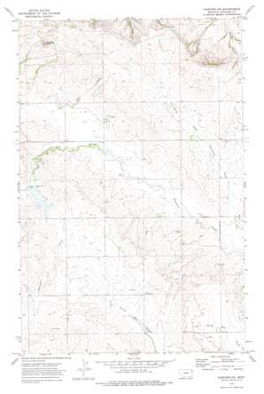
Fairview Nw Topo Map Montana
To zoom in, hover over the map of Fairview Nw
USGS Topo Quad 47104h2 - 1:24,000 scale
| Topo Map Name: | Fairview Nw |
| USGS Topo Quad ID: | 47104h2 |
| Print Size: | ca. 21 1/4" wide x 27" high |
| Southeast Coordinates: | 47.875° N latitude / 104.125° W longitude |
| Map Center Coordinates: | 47.9375° N latitude / 104.1875° W longitude |
| U.S. State: | MT |
| Filename: | o47104h2.jpg |
| Download Map JPG Image: | Fairview Nw topo map 1:24,000 scale |
| Map Type: | Topographic |
| Topo Series: | 7.5´ |
| Map Scale: | 1:24,000 |
| Source of Map Images: | United States Geological Survey (USGS) |
| Alternate Map Versions: |
Fairview NW MT 1972, updated 1975 Download PDF Buy paper map Fairview NW MT 2011 Download PDF Buy paper map Fairview NW MT 2014 Download PDF Buy paper map |
1:24,000 Topo Quads surrounding Fairview Nw
> Back to 47104e1 at 1:100,000 scale
> Back to 47104a1 at 1:250,000 scale
> Back to U.S. Topo Maps home
Fairview Nw topo map: Gazetteer
Fairview Nw: Dams
Leo Delaney Dam elevation 646m 2119′Fairview Nw: Summits
Antelope Butte elevation 728m 2388′Fairview Nw: Wells
25N58E03BBCC01 Well elevation 631m 2070′25N58E12DCCB01 Well elevation 631m 2070′
25N58E13ADD_01 Well elevation 650m 2132′
25N58E21DDDC01 Well elevation 682m 2237′
25N58E24CCC_01 Well elevation 665m 2181′
25N58E24CCCB01 Well elevation 667m 2188′
25N58E27CCBD01 Well elevation 685m 2247′
25N59E18CBDC01 Well elevation 630m 2066′
25N59E18DC__01 Well elevation 642m 2106′
26N58E21CCCC01 Well elevation 639m 2096′
26N59E32BAAA01 Well elevation 640m 2099′
Fairview Nw digital topo map on disk
Buy this Fairview Nw topo map showing relief, roads, GPS coordinates and other geographical features, as a high-resolution digital map file on DVD:
Eastern Montana & Western North Dakota
Buy digital topo maps: Eastern Montana & Western North Dakota


