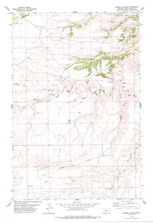
Leiberg Coulee Topo Map Montana
To zoom in, hover over the map of Leiberg Coulee
USGS Topo Quad 47110c3 - 1:24,000 scale
| Topo Map Name: | Leiberg Coulee |
| USGS Topo Quad ID: | 47110c3 |
| Print Size: | ca. 21 1/4" wide x 27" high |
| Southeast Coordinates: | 47.25° N latitude / 110.25° W longitude |
| Map Center Coordinates: | 47.3125° N latitude / 110.3125° W longitude |
| U.S. State: | MT |
| Filename: | o47110c3.jpg |
| Download Map JPG Image: | Leiberg Coulee topo map 1:24,000 scale |
| Map Type: | Topographic |
| Topo Series: | 7.5´ |
| Map Scale: | 1:24,000 |
| Source of Map Images: | United States Geological Survey (USGS) |
| Alternate Map Versions: |
Leiberg Coulee MT 1978, updated 1979 Download PDF Buy paper map Leiberg Coulee MT 2011 Download PDF Buy paper map Leiberg Coulee MT 2014 Download PDF Buy paper map |
1:24,000 Topo Quads surrounding Leiberg Coulee
> Back to 47110a1 at 1:100,000 scale
> Back to 47110a1 at 1:250,000 scale
> Back to U.S. Topo Maps home
Leiberg Coulee topo map: Gazetteer
Leiberg Coulee: Benches
Merino Bench elevation 1327m 4353′Leiberg Coulee: Dams
Complimentary Dam elevation 1177m 3861′Leiberg Coulee: Springs
17N11E03CB__01 Spring elevation 1288m 4225′17N11E04DD__01 Spring elevation 1294m 4245′
17N11E12AB__01 Spring elevation 1249m 4097′
18N11E04AB__01 Spring elevation 1190m 3904′
18N11E05CC__01 Spring elevation 1223m 4012′
18N11E16DA__01 Spring elevation 1140m 3740′
18N11E21AA__01 Spring elevation 1152m 3779′
18N11E24DD__02 Spring elevation 1210m 3969′
18N11E30AB__01 Spring elevation 1217m 3992′
18N11E30CD__01 Spring elevation 1222m 4009′
18N11E32DB__01 Spring elevation 1300m 4265′
18N11E33BB__01 Spring elevation 1219m 3999′
18N11E34BC__01 Spring elevation 1220m 4002′
18N11E35CA__01 Spring elevation 1234m 4048′
19N11E32DA__03 Spring elevation 1159m 3802′
Leiberg Coulee: Streams
Braun Creek elevation 1103m 3618′Leiberg Coulee: Valleys
Leiberg Coulee elevation 1055m 3461′Leiberg Coulee: Wells
17N11E05BD__01 Well elevation 1326m 4350′17N11E05DB__01 Well elevation 1316m 4317′
17N11E05DB__02 Well elevation 1322m 4337′
18N11E06CD__01 Well elevation 1240m 4068′
18N11E06CD__02 Well elevation 1240m 4068′
18N11E06CD__03 Well elevation 1240m 4068′
18N11E06CD__04 Well elevation 1240m 4068′
18N11E06CD__05 Well elevation 1240m 4068′
18N11E22AB__01 Well elevation 1153m 3782′
18N11E22AB__02 Well elevation 1153m 3782′
18N11E22CC__01 Well elevation 1173m 3848′
18N11E22DB__01 Well elevation 1195m 3920′
18N11E24DD__01 Well elevation 1210m 3969′
18N11E28DB__01 Well elevation 1192m 3910′
18N11E28DB__02 Well elevation 1192m 3910′
18N11E32BB__01 Well elevation 1241m 4071′
18N11E35AD__01 Well elevation 1222m 4009′
19N11E32DA__01 Well elevation 1159m 3802′
19N11E32DA__02 Well elevation 1159m 3802′
19N11E32DB__01 Well elevation 1163m 3815′
Leiberg Coulee digital topo map on disk
Buy this Leiberg Coulee topo map showing relief, roads, GPS coordinates and other geographical features, as a high-resolution digital map file on DVD:


