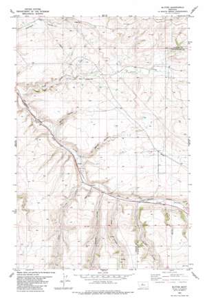
Blythe Topo Map Montana
To zoom in, hover over the map of Blythe
USGS Topo Quad 47110c7 - 1:24,000 scale
| Topo Map Name: | Blythe |
| USGS Topo Quad ID: | 47110c7 |
| Print Size: | ca. 21 1/4" wide x 27" high |
| Southeast Coordinates: | 47.25° N latitude / 110.75° W longitude |
| Map Center Coordinates: | 47.3125° N latitude / 110.8125° W longitude |
| U.S. State: | MT |
| Filename: | o47110c7.jpg |
| Download Map JPG Image: | Blythe topo map 1:24,000 scale |
| Map Type: | Topographic |
| Topo Series: | 7.5´ |
| Map Scale: | 1:24,000 |
| Source of Map Images: | United States Geological Survey (USGS) |
| Alternate Map Versions: |
Blythe MT 1982, updated 1983 Download PDF Buy paper map Blythe MT 2011 Download PDF Buy paper map Blythe MT 2014 Download PDF Buy paper map |
1:24,000 Topo Quads surrounding Blythe
> Back to 47110a1 at 1:100,000 scale
> Back to 47110a1 at 1:250,000 scale
> Back to U.S. Topo Maps home
Blythe topo map: Gazetteer
Blythe: Dams
Dawson Ranch Number 1 Dam elevation 1199m 3933′Blythe: Populated Places
Blythe elevation 1162m 3812′Blythe: Post Offices
Cora Post Office (historical) elevation 1178m 3864′Blythe: Streams
Cora Creek elevation 1123m 3684′Blythe: Valleys
Baker Coulee elevation 1139m 3736′Brigman Coulee elevation 1179m 3868′
Brush Coulee elevation 1207m 3959′
Ford Coulee elevation 1167m 3828′
Government Coulee elevation 1214m 3982′
Marion Coulee elevation 1155m 3789′
Never Sweat Coulee elevation 1188m 3897′
Swan Coulee elevation 1184m 3884′
Blythe: Wells
18N07E05____01 Well elevation 1197m 3927′18N07E05A___01 Well elevation 1212m 3976′
18N07E11____01 Well elevation 1207m 3959′
18N07E11____02 Well elevation 1207m 3959′
Blythe digital topo map on disk
Buy this Blythe topo map showing relief, roads, GPS coordinates and other geographical features, as a high-resolution digital map file on DVD:


