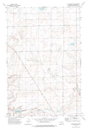
Geraldine Ne Topo Map Montana
To zoom in, hover over the map of Geraldine Ne
USGS Topo Quad 47110f3 - 1:24,000 scale
| Topo Map Name: | Geraldine Ne |
| USGS Topo Quad ID: | 47110f3 |
| Print Size: | ca. 21 1/4" wide x 27" high |
| Southeast Coordinates: | 47.625° N latitude / 110.25° W longitude |
| Map Center Coordinates: | 47.6875° N latitude / 110.3125° W longitude |
| U.S. State: | MT |
| Filename: | o47110f3.jpg |
| Download Map JPG Image: | Geraldine Ne topo map 1:24,000 scale |
| Map Type: | Topographic |
| Topo Series: | 7.5´ |
| Map Scale: | 1:24,000 |
| Source of Map Images: | United States Geological Survey (USGS) |
| Alternate Map Versions: |
Geraldine NE MT 1972, updated 1976 Download PDF Buy paper map Geraldine NE MT 2011 Download PDF Buy paper map Geraldine NE MT 2014 Download PDF Buy paper map |
1:24,000 Topo Quads surrounding Geraldine Ne
> Back to 47110e1 at 1:100,000 scale
> Back to 47110a1 at 1:250,000 scale
> Back to U.S. Topo Maps home
Geraldine Ne topo map: Gazetteer
Geraldine Ne: Dams
Thurston Dam elevation 938m 3077′Geraldine Ne: Wells
22N11E15BCCB01 Well elevation 955m 3133′22N11E27ACDC01 Well elevation 955m 3133′
22N11E30DDBB01 Well elevation 964m 3162′
23N11E24CDDA01 Well elevation 956m 3136′
Geraldine Ne digital topo map on disk
Buy this Geraldine Ne topo map showing relief, roads, GPS coordinates and other geographical features, as a high-resolution digital map file on DVD:


