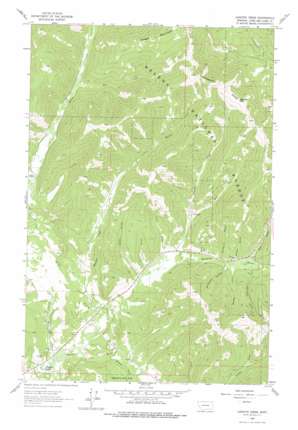
Cadotte Creek Topo Map Montana
To zoom in, hover over the map of Cadotte Creek
USGS Topo Quad 47112a4 - 1:24,000 scale
| Topo Map Name: | Cadotte Creek |
| USGS Topo Quad ID: | 47112a4 |
| Print Size: | ca. 21 1/4" wide x 27" high |
| Southeast Coordinates: | 47° N latitude / 112.375° W longitude |
| Map Center Coordinates: | 47.0625° N latitude / 112.4375° W longitude |
| U.S. State: | MT |
| Filename: | o47112a4.jpg |
| Download Map JPG Image: | Cadotte Creek topo map 1:24,000 scale |
| Map Type: | Topographic |
| Topo Series: | 7.5´ |
| Map Scale: | 1:24,000 |
| Source of Map Images: | United States Geological Survey (USGS) |
| Alternate Map Versions: |
Cadotte Creek MT 1963, updated 1964 Download PDF Buy paper map Cadotte Creek MT 1963, updated 1975 Download PDF Buy paper map Cadotte Creek MT 2001, updated 2004 Download PDF Buy paper map Cadotte Creek MT 2011 Download PDF Buy paper map Cadotte Creek MT 2014 Download PDF Buy paper map |
| FStopo: | US Forest Service topo Cadotte Creek is available: Download FStopo PDF Download FStopo TIF |
1:24,000 Topo Quads surrounding Cadotte Creek
> Back to 47112a1 at 1:100,000 scale
> Back to 47112a1 at 1:250,000 scale
> Back to U.S. Topo Maps home
Cadotte Creek topo map: Gazetteer
Cadotte Creek: Bridges
Cadotte Creek Bridge elevation 1566m 5137′Cadotte Creek: Gaps
Cadotte Pass elevation 1851m 6072′Cadotte Creek: Lakes
Flesher Lakes elevation 1488m 4881′Cadotte Creek: Mines
Carbonate Mine elevation 1639m 5377′Edith Mine elevation 1592m 5223′
Cadotte Creek: Populated Places
Silver King (historical) elevation 1635m 5364′Cadotte Creek: Post Offices
Flesher Post Office (historical) elevation 1536m 5039′Cadotte Creek: Streams
Alice Creek elevation 1495m 4904′Bartlett Creek elevation 1524m 5000′
Bear Creek elevation 1641m 5383′
Cadotte Creek elevation 1554m 5098′
East Fork Cadotte Creek elevation 1565m 5134′
Hardscrabble Creek elevation 1485m 4872′
Meadow Creek elevation 1573m 5160′
Pass Creek elevation 1581m 5187′
Shaue Gulch Creek elevation 1593m 5226′
Willow Creek elevation 1510m 4954′
Cadotte Creek: Valleys
First Gulch elevation 1547m 5075′Glen Gulch elevation 1609m 5278′
Paymaster Gulch elevation 1584m 5196′
Porcupine Gulch elevation 1572m 5157′
Second Gulch elevation 1545m 5068′
Surveyors Gulch elevation 1572m 5157′
Swamp Gulch elevation 1581m 5187′
Third Gulch elevation 1559m 5114′
Cadotte Creek: Wells
15N07W24AACD01 Well elevation 1556m 5104′15N07W28ABB_01 Well elevation 1524m 5000′
15N07W28ABCB01 Well elevation 1532m 5026′
Cadotte Creek digital topo map on disk
Buy this Cadotte Creek topo map showing relief, roads, GPS coordinates and other geographical features, as a high-resolution digital map file on DVD:


