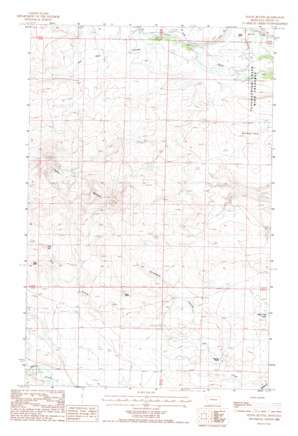
Teton Buttes Topo Map Montana
To zoom in, hover over the map of Teton Buttes
USGS Topo Quad 47112g3 - 1:24,000 scale
| Topo Map Name: | Teton Buttes |
| USGS Topo Quad ID: | 47112g3 |
| Print Size: | ca. 21 1/4" wide x 27" high |
| Southeast Coordinates: | 47.75° N latitude / 112.25° W longitude |
| Map Center Coordinates: | 47.8125° N latitude / 112.3125° W longitude |
| U.S. State: | MT |
| Filename: | o47112g3.jpg |
| Download Map JPG Image: | Teton Buttes topo map 1:24,000 scale |
| Map Type: | Topographic |
| Topo Series: | 7.5´ |
| Map Scale: | 1:24,000 |
| Source of Map Images: | United States Geological Survey (USGS) |
| Alternate Map Versions: |
Teton Buttes MT 1987, updated 1987 Download PDF Buy paper map Teton Buttes MT 2011 Download PDF Buy paper map Teton Buttes MT 2014 Download PDF Buy paper map |
1:24,000 Topo Quads surrounding Teton Buttes
> Back to 47112e1 at 1:100,000 scale
> Back to 47112a1 at 1:250,000 scale
> Back to U.S. Topo Maps home
Teton Buttes topo map: Gazetteer
Teton Buttes: Lakes
Reickoff Lakes elevation 1238m 4061′Teton Buttes: Mines
NW NW Section 11 Mine elevation 1331m 4366′SE NE Section 10 Mine elevation 1372m 4501′
SW NW Section 10 Mine elevation 1354m 4442′
Teton Buttes: Parks
Blackfeet and Buffalo Historical Marker elevation 1226m 4022′Teton Buttes: Post Offices
Kalma Post Office (historical) elevation 1249m 4097′Teton Buttes: Summits
Clay Hill elevation 1302m 4271′Teton Buttes elevation 1357m 4452′
Teton Buttes: Valleys
Gibson Coulee elevation 1220m 4002′Hod Main Coulee elevation 1228m 4028′
Klingensmith Coulee elevation 1226m 4022′
North Fork Klingensmith Coulee elevation 1257m 4124′
Sevenmile Coulee elevation 1201m 3940′
South Fork Cashman Coulee elevation 1197m 3927′
South Fork Klingensmith Coulee elevation 1257m 4124′
Teton Buttes digital topo map on disk
Buy this Teton Buttes topo map showing relief, roads, GPS coordinates and other geographical features, as a high-resolution digital map file on DVD:


