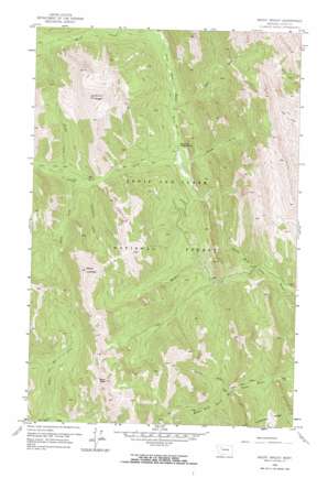
Mount Wright Topo Map Montana
To zoom in, hover over the map of Mount Wright
USGS Topo Quad 47112h7 - 1:24,000 scale
| Topo Map Name: | Mount Wright |
| USGS Topo Quad ID: | 47112h7 |
| Print Size: | ca. 21 1/4" wide x 27" high |
| Southeast Coordinates: | 47.875° N latitude / 112.75° W longitude |
| Map Center Coordinates: | 47.9375° N latitude / 112.8125° W longitude |
| U.S. State: | MT |
| Filename: | o47112h7.jpg |
| Download Map JPG Image: | Mount Wright topo map 1:24,000 scale |
| Map Type: | Topographic |
| Topo Series: | 7.5´ |
| Map Scale: | 1:24,000 |
| Source of Map Images: | United States Geological Survey (USGS) |
| Alternate Map Versions: |
Mount Wright MT 1958, updated 1959 Download PDF Buy paper map Mount Wright MT 1958, updated 1968 Download PDF Buy paper map Mount Wright MT 1958, updated 1968 Download PDF Buy paper map Mount Wright MT 1995, updated 1997 Download PDF Buy paper map Mount Wright MT 2011 Download PDF Buy paper map Mount Wright MT 2014 Download PDF Buy paper map |
| FStopo: | US Forest Service topo Mount Wright is available: Download FStopo PDF Download FStopo TIF |
1:24,000 Topo Quads surrounding Mount Wright
> Back to 47112e1 at 1:100,000 scale
> Back to 47112a1 at 1:250,000 scale
> Back to U.S. Topo Maps home
Mount Wright topo map: Gazetteer
Mount Wright: Forests
Lewis and Clark National Forest - Rocky Mountain Division elevation 2288m 7506′Mount Wright: Ridges
Lonesome Ridge elevation 1879m 6164′Mount Wright: Streams
Bruce Creek elevation 1789m 5869′East Fork North Fork Teton River elevation 1746m 5728′
Massey Creek elevation 1708m 5603′
Nesbit Creek elevation 1827m 5994′
Olney Creek elevation 1793m 5882′
Porcupine Creek elevation 1784m 5853′
Waldron Creek elevation 1626m 5334′
West Fork North Fork Teton River elevation 1709m 5606′
Wright Creek elevation 1816m 5958′
Mount Wright: Summits
Mount Lockhart elevation 2642m 8667′Mount Wright elevation 2700m 8858′
Teton Peak elevation 2560m 8398′
Mount Wright: Trails
West Fork Jones Creek National Recreation Trail elevation 1857m 6092′Mount Wright: Valleys
Garners Gulch elevation 1718m 5636′Mount Wright digital topo map on disk
Buy this Mount Wright topo map showing relief, roads, GPS coordinates and other geographical features, as a high-resolution digital map file on DVD:


