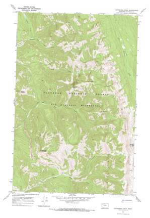
Cathedral Peak Topo Map Montana
To zoom in, hover over the map of Cathedral Peak
USGS Topo Quad 47113g3 - 1:24,000 scale
| Topo Map Name: | Cathedral Peak |
| USGS Topo Quad ID: | 47113g3 |
| Print Size: | ca. 21 1/4" wide x 27" high |
| Southeast Coordinates: | 47.75° N latitude / 113.25° W longitude |
| Map Center Coordinates: | 47.8125° N latitude / 113.3125° W longitude |
| U.S. State: | MT |
| Filename: | o47113g3.jpg |
| Download Map JPG Image: | Cathedral Peak topo map 1:24,000 scale |
| Map Type: | Topographic |
| Topo Series: | 7.5´ |
| Map Scale: | 1:24,000 |
| Source of Map Images: | United States Geological Survey (USGS) |
| Alternate Map Versions: |
Cathedral Peak MT 1970, updated 1973 Download PDF Buy paper map Cathedral Peak MT 1994, updated 1997 Download PDF Buy paper map Cathedral Peak MT 2011 Download PDF Buy paper map Cathedral Peak MT 2014 Download PDF Buy paper map |
| FStopo: | US Forest Service topo Cathedral Peak is available: Download FStopo PDF Download FStopo TIF |
1:24,000 Topo Quads surrounding Cathedral Peak
> Back to 47113e1 at 1:100,000 scale
> Back to 47112a1 at 1:250,000 scale
> Back to U.S. Topo Maps home
Cathedral Peak topo map: Gazetteer
Cathedral Peak: Streams
Corporal Creek elevation 1360m 4461′Rambler Creek elevation 1437m 4714′
Cathedral Peak: Summits
Black Bear Mountain elevation 2329m 7641′Cathedral Peak elevation 2308m 7572′
Meadow Mountain elevation 2157m 7076′
Mid Mountain elevation 2248m 7375′
Minaret Peak elevation 2176m 7139′
Silvertip Mountain elevation 2699m 8854′
Cathedral Peak digital topo map on disk
Buy this Cathedral Peak topo map showing relief, roads, GPS coordinates and other geographical features, as a high-resolution digital map file on DVD:


