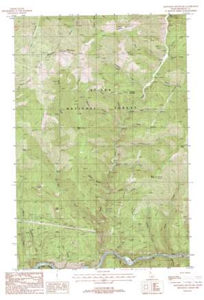
Mastodon Mountain Topo Map Idaho
To zoom in, hover over the map of Mastodon Mountain
USGS Topo Quad 47115c8 - 1:24,000 scale
| Topo Map Name: | Mastodon Mountain |
| USGS Topo Quad ID: | 47115c8 |
| Print Size: | ca. 21 1/4" wide x 27" high |
| Southeast Coordinates: | 47.25° N latitude / 115.875° W longitude |
| Map Center Coordinates: | 47.3125° N latitude / 115.9375° W longitude |
| U.S. State: | ID |
| Filename: | o47115c8.jpg |
| Download Map JPG Image: | Mastodon Mountain topo map 1:24,000 scale |
| Map Type: | Topographic |
| Topo Series: | 7.5´ |
| Map Scale: | 1:24,000 |
| Source of Map Images: | United States Geological Survey (USGS) |
| Alternate Map Versions: |
Mastodon Mountain ID 1988, updated 1988 Download PDF Buy paper map Mastodon Mountain ID 1995, updated 1997 Download PDF Buy paper map Mastodon Mountain ID 2011 Download PDF Buy paper map Mastodon Mountain ID 2013 Download PDF Buy paper map |
| FStopo: | US Forest Service topo Mastodon Mountain is available: Download FStopo PDF Download FStopo TIF |
1:24,000 Topo Quads surrounding Mastodon Mountain
> Back to 47115a1 at 1:100,000 scale
> Back to 47114a1 at 1:250,000 scale
> Back to U.S. Topo Maps home
Mastodon Mountain topo map: Gazetteer
Mastodon Mountain: Mines
Franklin Mine elevation 844m 2769′Mastodon Mine elevation 1335m 4379′
Mastodon Mountain: Populated Places
Ethelton elevation 738m 2421′Hoyt elevation 732m 2401′
Mastodon Mountain: Streams
Binney Creek elevation 927m 3041′Blackjack Creek elevation 704m 2309′
Cairn Creek elevation 933m 3061′
Cedar Creek elevation 919m 3015′
Fisher Creek elevation 971m 3185′
Flemming Creek elevation 738m 2421′
Fritz Creek elevation 840m 2755′
Fume Creek elevation 885m 2903′
Hamilton Creek elevation 732m 2401′
Harvey Creek elevation 709m 2326′
Hoyt Creek elevation 717m 2352′
Italian Creek elevation 730m 2395′
Lumberjack Creek elevation 860m 2821′
Marion Creek elevation 873m 2864′
Prospect Creek elevation 921m 3021′
Rock Creek elevation 732m 2401′
Rover Creek elevation 923m 3028′
Slate Creek elevation 715m 2345′
Uhlman Creek elevation 812m 2664′
West Fork Slate Creek elevation 765m 2509′
Mastodon Mountain: Summits
Ally Point elevation 1300m 4265′Dennis Knob elevation 1402m 4599′
Dunn Peak elevation 1698m 5570′
Flash Peak elevation 1723m 5652′
Foolhen Mountain elevation 1802m 5912′
Mastodon Mountain elevation 1793m 5882′
Prince Peak elevation 1614m 5295′
Prospect Mountain elevation 1182m 3877′
Slate Peak elevation 1644m 5393′
Mastodon Mountain: Trails
Ally Point Trail elevation 1300m 4265′Dunn Peak Trail (historical) elevation 1621m 5318′
Prince Peak Trail elevation 1574m 5164′
Slate-Dunn Peak Trail elevation 1346m 4416′
West Fork Slate Divide Trail elevation 1555m 5101′
Mastodon Mountain: Valleys
Ally Gulch elevation 741m 2431′Daisy Gulch elevation 912m 2992′
Hamilton Gulch elevation 732m 2401′
Horn Gulch elevation 912m 2992′
Mack Gulch elevation 912m 2992′
Mastodon Mountain digital topo map on disk
Buy this Mastodon Mountain topo map showing relief, roads, GPS coordinates and other geographical features, as a high-resolution digital map file on DVD:


