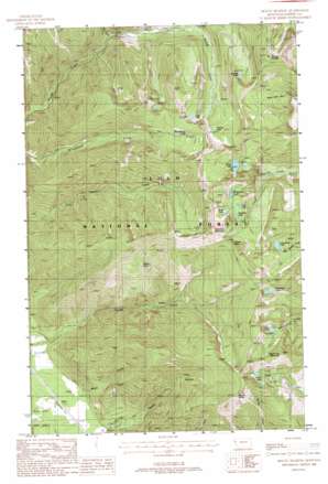
Mount Headley Topo Map Montana
To zoom in, hover over the map of Mount Headley
USGS Topo Quad 47115f3 - 1:24,000 scale
| Topo Map Name: | Mount Headley |
| USGS Topo Quad ID: | 47115f3 |
| Print Size: | ca. 21 1/4" wide x 27" high |
| Southeast Coordinates: | 47.625° N latitude / 115.25° W longitude |
| Map Center Coordinates: | 47.6875° N latitude / 115.3125° W longitude |
| U.S. State: | MT |
| Filename: | o47115f3.jpg |
| Download Map JPG Image: | Mount Headley topo map 1:24,000 scale |
| Map Type: | Topographic |
| Topo Series: | 7.5´ |
| Map Scale: | 1:24,000 |
| Source of Map Images: | United States Geological Survey (USGS) |
| Alternate Map Versions: |
Mount Headley MT 1988, updated 1988 Download PDF Buy paper map Mount Headley MT 1999, updated 2003 Download PDF Buy paper map Mount Headley MT 2011 Download PDF Buy paper map Mount Headley MT 2014 Download PDF Buy paper map |
| FStopo: | US Forest Service topo Mount Headley is available: Download FStopo PDF Download FStopo TIF |
1:24,000 Topo Quads surrounding Mount Headley
> Back to 47115e1 at 1:100,000 scale
> Back to 47114a1 at 1:250,000 scale
> Back to U.S. Topo Maps home
Mount Headley topo map: Gazetteer
Mount Headley: Gaps
Cube Iron Pass elevation 2018m 6620′Mount Headley: Lakes
Arrowhead Lake elevation 1815m 5954′Cabin Lake elevation 1802m 5912′
Carbine Lake elevation 1853m 6079′
Deer Lake elevation 1813m 5948′
Duckhead Lake elevation 1863m 6112′
Frog Lake elevation 1841m 6040′
Goat Lakes elevation 1889m 6197′
Grass Lake elevation 1875m 6151′
Graves Lake elevation 1848m 6062′
Knowles Lake elevation 1828m 5997′
Lawn Lake elevation 1866m 6122′
Porcupine Lake elevation 1829m 6000′
Winniemuck Lake elevation 1904m 6246′
Mount Headley: Springs
Big Spring elevation 2008m 6587′Mount Headley: Streams
Irvs Creek elevation 1309m 4294′Mount Headley: Summits
Castle Rock elevation 1690m 5544′Cube Iron Mountain elevation 2179m 7148′
Mount Headley elevation 2249m 7378′
Mount Silcox elevation 2103m 6899′
Round Top Mountain elevation 2091m 6860′
Mount Headley: Valleys
Maier Gulch elevation 827m 2713′Weber Gulch elevation 876m 2874′
Mount Headley digital topo map on disk
Buy this Mount Headley topo map showing relief, roads, GPS coordinates and other geographical features, as a high-resolution digital map file on DVD:


