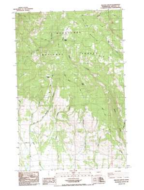
Reecer Canyon Topo Map Washington
To zoom in, hover over the map of Reecer Canyon
USGS Topo Quad 47120b5 - 1:24,000 scale
| Topo Map Name: | Reecer Canyon |
| USGS Topo Quad ID: | 47120b5 |
| Print Size: | ca. 21 1/4" wide x 27" high |
| Southeast Coordinates: | 47.125° N latitude / 120.5° W longitude |
| Map Center Coordinates: | 47.1875° N latitude / 120.5625° W longitude |
| U.S. State: | WA |
| Filename: | o47120b5.jpg |
| Download Map JPG Image: | Reecer Canyon topo map 1:24,000 scale |
| Map Type: | Topographic |
| Topo Series: | 7.5´ |
| Map Scale: | 1:24,000 |
| Source of Map Images: | United States Geological Survey (USGS) |
| Alternate Map Versions: |
Reecer Canyon WA 1985, updated 1985 Download PDF Buy paper map Reecer Canyon WA 1985, updated 1985 Download PDF Buy paper map Reecer Canyon WA 2003, updated 2006 Download PDF Buy paper map Reecer Canyon WA 2011 Download PDF Buy paper map Reecer Canyon WA 2014 Download PDF Buy paper map |
| FStopo: | US Forest Service topo Reecer Canyon is available: Download FStopo PDF Download FStopo TIF |
1:24,000 Topo Quads surrounding Reecer Canyon
> Back to 47120a1 at 1:100,000 scale
> Back to 47120a1 at 1:250,000 scale
> Back to U.S. Topo Maps home
Reecer Canyon topo map: Gazetteer
Reecer Canyon: Capes
Lillard Hill elevation 1003m 3290′Reecer Canyon: Dams
Reimer Pond Dam elevation 709m 2326′Reecer Canyon: Reservoirs
Reimer Pond elevation 709m 2326′Reecer Canyon: Springs
Barrel Spring elevation 1550m 5085′Garrison Spring elevation 1549m 5082′
Jack White Spring elevation 1345m 4412′
Reecer Canyon: Streams
Bear Creek elevation 950m 3116′Reecer Canyon: Summits
Table Mountain elevation 1882m 6174′Reecer Canyon: Trails
First Creek Trail elevation 1377m 4517′High Creek Trail elevation 1619m 5311′
Naneum Wilson Trail elevation 1881m 6171′
Nealey Creek Trail elevation 1825m 5987′
Ragan Way Trail elevation 1762m 5780′
Teanaway Wilson Stock Trail elevation 1625m 5331′
Reecer Canyon: Valleys
Currier Canyon elevation 778m 2552′Johnson Canyon elevation 852m 2795′
Reecer Canyon elevation 859m 2818′
Robbins Canyon elevation 885m 2903′
Snag Canyon elevation 756m 2480′
Reecer Canyon digital topo map on disk
Buy this Reecer Canyon topo map showing relief, roads, GPS coordinates and other geographical features, as a high-resolution digital map file on DVD:


