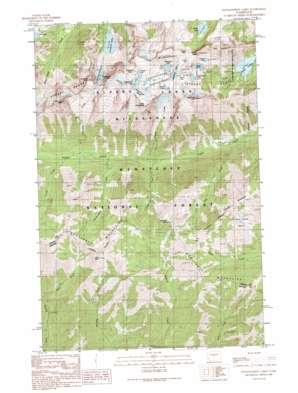
Enchantment Lakes Topo Map Washington
To zoom in, hover over the map of Enchantment Lakes
USGS Topo Quad 47120d7 - 1:24,000 scale
| Topo Map Name: | Enchantment Lakes |
| USGS Topo Quad ID: | 47120d7 |
| Print Size: | ca. 21 1/4" wide x 27" high |
| Southeast Coordinates: | 47.375° N latitude / 120.75° W longitude |
| Map Center Coordinates: | 47.4375° N latitude / 120.8125° W longitude |
| U.S. State: | WA |
| Filename: | o47120d7.jpg |
| Download Map JPG Image: | Enchantment Lakes topo map 1:24,000 scale |
| Map Type: | Topographic |
| Topo Series: | 7.5´ |
| Map Scale: | 1:24,000 |
| Source of Map Images: | United States Geological Survey (USGS) |
| Alternate Map Versions: |
Enchantment Lakes WA 1989, updated 1989 Download PDF Buy paper map Enchantment Lakes WA 2003, updated 2006 Download PDF Buy paper map Enchantment Lakes WA 2011 Download PDF Buy paper map Enchantment Lakes WA 2014 Download PDF Buy paper map |
| FStopo: | US Forest Service topo Enchantment Lakes is available: Download FStopo PDF Download FStopo TIF |
1:24,000 Topo Quads surrounding Enchantment Lakes
> Back to 47120a1 at 1:100,000 scale
> Back to 47120a1 at 1:250,000 scale
> Back to U.S. Topo Maps home
Enchantment Lakes topo map: Gazetteer
Enchantment Lakes: Basins
Enchantment Basin elevation 2264m 7427′Gold Creek Basin elevation 1640m 5380′
Enchantment Lakes: Dams
Colchuck Lake Dam elevation 1699m 5574′Enchantment Lakes: Gaps
Colchuck Pass elevation 2390m 7841′Enchantment Pass elevation 2061m 6761′
Prusik Pass elevation 2285m 7496′
Enchantment Lakes: Glaciers
Colchuck Glacier elevation 2143m 7030′Snow Creek Glacier elevation 2467m 8093′
Enchantment Lakes: Lakes
Enchantment Lakes elevation 2204m 7230′Gnome Tarn elevation 2259m 7411′
Inspiration Lake elevation 2193m 7194′
Isolation Lake elevation 2348m 7703′
Lake Viviane elevation 2069m 6788′
Leprechaun Lake elevation 2097m 6879′
Lower Enchantment Lakes elevation 2247m 7372′
Perfection Lake elevation 2303m 7555′
Shield Lake elevation 2042m 6699′
Sprite Lake elevation 2149m 7050′
Temple Lake elevation 2104m 6902′
Tranquil Lake elevation 2377m 7798′
Upper Enchantment Lakes elevation 2408m 7900′
Enchantment Lakes: Ranges
Enchantment Peaks elevation 2552m 8372′Stuart Range elevation 2459m 8067′
Wenatchee Mountains elevation 1816m 5958′
Enchantment Lakes: Reservoirs
Colchuck Lake elevation 1699m 5574′Enchantment Lakes: Streams
Cascade Creek elevation 1122m 3681′Crystal Creek elevation 1162m 3812′
Falls Creek elevation 1021m 3349′
Fourth Creek elevation 1285m 4215′
Hardscrable Creek elevation 1203m 3946′
Porcupine Creek elevation 1245m 4084′
Enchantment Lakes: Summits
Argonaut Peak elevation 2551m 8369′Colchuck Peak elevation 2593m 8507′
Dragontail Peak elevation 2685m 8809′
Earl Peak elevation 2099m 6886′
Little Annapurna elevation 2578m 8458′
McClellan Peak elevation 2507m 8225′
Navaho Peak elevation 2183m 7162′
Prusik Peak elevation 2395m 7857′
The Temple elevation 2449m 8034′
Three Brothers elevation 2182m 7158′
Enchantment Lakes: Trails
Colchuck Trail elevation 1563m 5127′County Line Trail elevation 1856m 6089′
Lake Stuart Trail elevation 1507m 4944′
Miller Peak Trail elevation 1592m 5223′
Enchantment Lakes digital topo map on disk
Buy this Enchantment Lakes topo map showing relief, roads, GPS coordinates and other geographical features, as a high-resolution digital map file on DVD:


