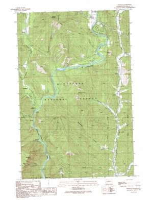
Winton Topo Map Washington
To zoom in, hover over the map of Winton
USGS Topo Quad 47120f6 - 1:24,000 scale
| Topo Map Name: | Winton |
| USGS Topo Quad ID: | 47120f6 |
| Print Size: | ca. 21 1/4" wide x 27" high |
| Southeast Coordinates: | 47.625° N latitude / 120.625° W longitude |
| Map Center Coordinates: | 47.6875° N latitude / 120.6875° W longitude |
| U.S. State: | WA |
| Filename: | o47120f6.jpg |
| Download Map JPG Image: | Winton topo map 1:24,000 scale |
| Map Type: | Topographic |
| Topo Series: | 7.5´ |
| Map Scale: | 1:24,000 |
| Source of Map Images: | United States Geological Survey (USGS) |
| Alternate Map Versions: |
Winton WA 1989, updated 1989 Download PDF Buy paper map Winton WA 2003, updated 2006 Download PDF Buy paper map Winton WA 2011 Download PDF Buy paper map Winton WA 2014 Download PDF Buy paper map |
| FStopo: | US Forest Service topo Winton is available: Download FStopo PDF Download FStopo TIF |
1:24,000 Topo Quads surrounding Winton
> Back to 47120e1 at 1:100,000 scale
> Back to 47120a1 at 1:250,000 scale
> Back to U.S. Topo Maps home
Winton topo map: Gazetteer
Winton: Falls
Drury Falls elevation 1314m 4311′Winton: Pillars
Josephine Crag elevation 1475m 4839′Winton: Populated Places
Chiwaukum elevation 561m 1840′Chumstick elevation 486m 1594′
Winton elevation 633m 2076′
Winton: Ridges
Natapoc Ridge elevation 1281m 4202′Winton: Streams
Cabin Creek elevation 456m 1496′Chiwaukum Creek elevation 508m 1666′
Fall Creek elevation 466m 1528′
Freund Creek elevation 381m 1250′
Hatchery Creek elevation 505m 1656′
Little Chumstick Creek elevation 520m 1706′
Skinney Creek elevation 538m 1765′
Thomson Creek elevation 586m 1922′
Winton: Summits
Natapoc Mountain elevation 1273m 4176′Winton: Valleys
Clark Canyon elevation 457m 1499′Deadhorse Canyon elevation 556m 1824′
Spromberg Canyon elevation 407m 1335′
Sunitsch Canyon elevation 441m 1446′
Winton digital topo map on disk
Buy this Winton topo map showing relief, roads, GPS coordinates and other geographical features, as a high-resolution digital map file on DVD:


