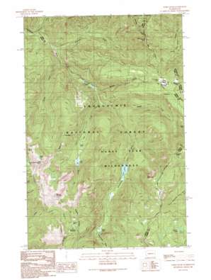
Noble Knob Topo Map Washington
To zoom in, hover over the map of Noble Knob
USGS Topo Quad 47121a4 - 1:24,000 scale
| Topo Map Name: | Noble Knob |
| USGS Topo Quad ID: | 47121a4 |
| Print Size: | ca. 21 1/4" wide x 27" high |
| Southeast Coordinates: | 47° N latitude / 121.375° W longitude |
| Map Center Coordinates: | 47.0625° N latitude / 121.4375° W longitude |
| U.S. State: | WA |
| Filename: | o47121a4.jpg |
| Download Map JPG Image: | Noble Knob topo map 1:24,000 scale |
| Map Type: | Topographic |
| Topo Series: | 7.5´ |
| Map Scale: | 1:24,000 |
| Source of Map Images: | United States Geological Survey (USGS) |
| Alternate Map Versions: |
Noble Knob WA 1989, updated 1989 Download PDF Buy paper map Noble Knob WA 1989, updated 1989 Download PDF Buy paper map Noble Knob WA 2011 Download PDF Buy paper map Noble Knob WA 2014 Download PDF Buy paper map |
| FStopo: | US Forest Service topo Noble Knob is available: Download FStopo PDF Download FStopo TIF |
1:24,000 Topo Quads surrounding Noble Knob
> Back to 47121a1 at 1:100,000 scale
> Back to 47120a1 at 1:250,000 scale
> Back to U.S. Topo Maps home
Noble Knob topo map: Gazetteer
Noble Knob: Flats
Government Meadow elevation 1459m 4786′Noble Knob: Gaps
Corral Pass elevation 1724m 5656′Louisiana Saddle elevation 1599m 5246′
Naches Pass elevation 1502m 4927′
Rods Gap elevation 1475m 4839′
Windy Gap elevation 1593m 5226′
Noble Knob: Lakes
Crescent Lakes elevation 1536m 5039′Echo Lake elevation 1165m 3822′
George Lake elevation 1669m 5475′
Greenwater Lakes elevation 887m 2910′
Hidden Lake elevation 1274m 4179′
Lost Lake elevation 1216m 3989′
Quinn Lake elevation 1190m 3904′
Noble Knob: Streams
George Creek elevation 766m 2513′Hardwood Creek elevation 1561m 5121′
Lost Creek elevation 911m 2988′
Maggie Creek elevation 927m 3041′
Meadow Creek elevation 908m 2979′
Pyramid Creek elevation 742m 2434′
Whistle Creek elevation 736m 2414′
Noble Knob: Summits
Arch Rock elevation 1779m 5836′Mutton Mountain elevation 1872m 6141′
Noble Knob elevation 1814m 5951′
Pyramid Peak elevation 1718m 5636′
Noble Knob: Trails
Cougar Valley Trail elevation 1675m 5495′Dalles Ridge Trail elevation 1748m 5734′
Greenwater Trail elevation 1181m 3874′
Lost Lake Trail elevation 1563m 5127′
Maggie Creek Trail elevation 1277m 4189′
Naches Pass-Greenwater Trail elevation 789m 2588′
Noble Knob digital topo map on disk
Buy this Noble Knob topo map showing relief, roads, GPS coordinates and other geographical features, as a high-resolution digital map file on DVD:


