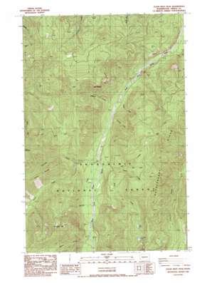
Clear West Peak Topo Map Washington
To zoom in, hover over the map of Clear West Peak
USGS Topo Quad 47121a6 - 1:24,000 scale
| Topo Map Name: | Clear West Peak |
| USGS Topo Quad ID: | 47121a6 |
| Print Size: | ca. 21 1/4" wide x 27" high |
| Southeast Coordinates: | 47° N latitude / 121.625° W longitude |
| Map Center Coordinates: | 47.0625° N latitude / 121.6875° W longitude |
| U.S. State: | WA |
| Filename: | o47121a6.jpg |
| Download Map JPG Image: | Clear West Peak topo map 1:24,000 scale |
| Map Type: | Topographic |
| Topo Series: | 7.5´ |
| Map Scale: | 1:24,000 |
| Source of Map Images: | United States Geological Survey (USGS) |
| Alternate Map Versions: |
Clear West Peak WA 1986, updated 1986 Download PDF Buy paper map Clear West Peak WA 2011 Download PDF Buy paper map Clear West Peak WA 2014 Download PDF Buy paper map |
| FStopo: | US Forest Service topo Clear West Peak is available: Download FStopo PDF Download FStopo TIF |
1:24,000 Topo Quads surrounding Clear West Peak
> Back to 47121a1 at 1:100,000 scale
> Back to 47120a1 at 1:250,000 scale
> Back to U.S. Topo Maps home
Clear West Peak topo map: Gazetteer
Clear West Peak: Gaps
Haller Pass elevation 1430m 4691′Clear West Peak: Lakes
Lonesome Lake elevation 1457m 4780′Mule Lake elevation 1400m 4593′
Clear West Peak: Streams
Eleanor Creek elevation 766m 2513′Hank Creek elevation 916m 3005′
Hazzard Creek elevation 680m 2230′
Jim Creek elevation 737m 2417′
Joe Creek elevation 973m 3192′
Mule Creek elevation 838m 2749′
Nosedive Creek elevation 687m 2253′
Pigeon Creek elevation 837m 2746′
Pinochle Creek elevation 722m 2368′
Thirsty Creek elevation 667m 2188′
Viola Creek elevation 811m 2660′
Wrong Creek elevation 727m 2385′
Clear West Peak: Summits
Clear West Peak elevation 1690m 5544′The Palisades elevation 1378m 4520′
Three Peaks elevation 1307m 4288′
Clear West Peak: Trails
Flip-O-Way Trail elevation 1353m 4438′Clear West Peak digital topo map on disk
Buy this Clear West Peak topo map showing relief, roads, GPS coordinates and other geographical features, as a high-resolution digital map file on DVD:


