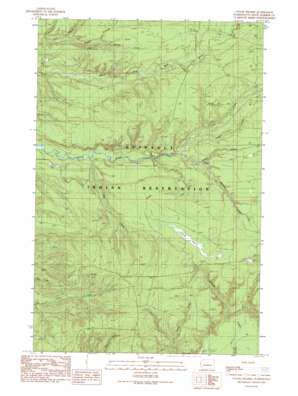
O'Took Prairie Topo Map Washington
To zoom in, hover over the map of O'Took Prairie
USGS Topo Quad 47124d2 - 1:24,000 scale
| Topo Map Name: | O'Took Prairie |
| USGS Topo Quad ID: | 47124d2 |
| Print Size: | ca. 21 1/4" wide x 27" high |
| Southeast Coordinates: | 47.375° N latitude / 124.125° W longitude |
| Map Center Coordinates: | 47.4375° N latitude / 124.1875° W longitude |
| U.S. State: | WA |
| Filename: | o47124d2.jpg |
| Download Map JPG Image: | O'Took Prairie topo map 1:24,000 scale |
| Map Type: | Topographic |
| Topo Series: | 7.5´ |
| Map Scale: | 1:24,000 |
| Source of Map Images: | United States Geological Survey (USGS) |
| Alternate Map Versions: |
O'Took Prairie WA 1990, updated 1990 Download PDF Buy paper map O'Took Prairie WA 2011 Download PDF Buy paper map O'Took Prairie WA 2014 Download PDF Buy paper map |
1:24,000 Topo Quads surrounding O'Took Prairie
> Back to 47124a1 at 1:100,000 scale
> Back to 47124a1 at 1:250,000 scale
> Back to U.S. Topo Maps home
O'Took Prairie topo map: Gazetteer
O'Took Prairie: Flats
O'Took Prairie elevation 112m 367′O'Took Prairie: Streams
Cedar Creek elevation 58m 190′Crane Creek elevation 66m 216′
Hoh Creek elevation 35m 114′
Lunch Creek elevation 59m 193′
Meadow Creek elevation 96m 314′
South Fork Raft River elevation 57m 187′
Swede Creek elevation 80m 262′
Trail Creek elevation 50m 164′
O'Took Prairie digital topo map on disk
Buy this O'Took Prairie topo map showing relief, roads, GPS coordinates and other geographical features, as a high-resolution digital map file on DVD:


