Wayland Se Topo Map Minnesota
To zoom in, hover over the map of Wayland Se
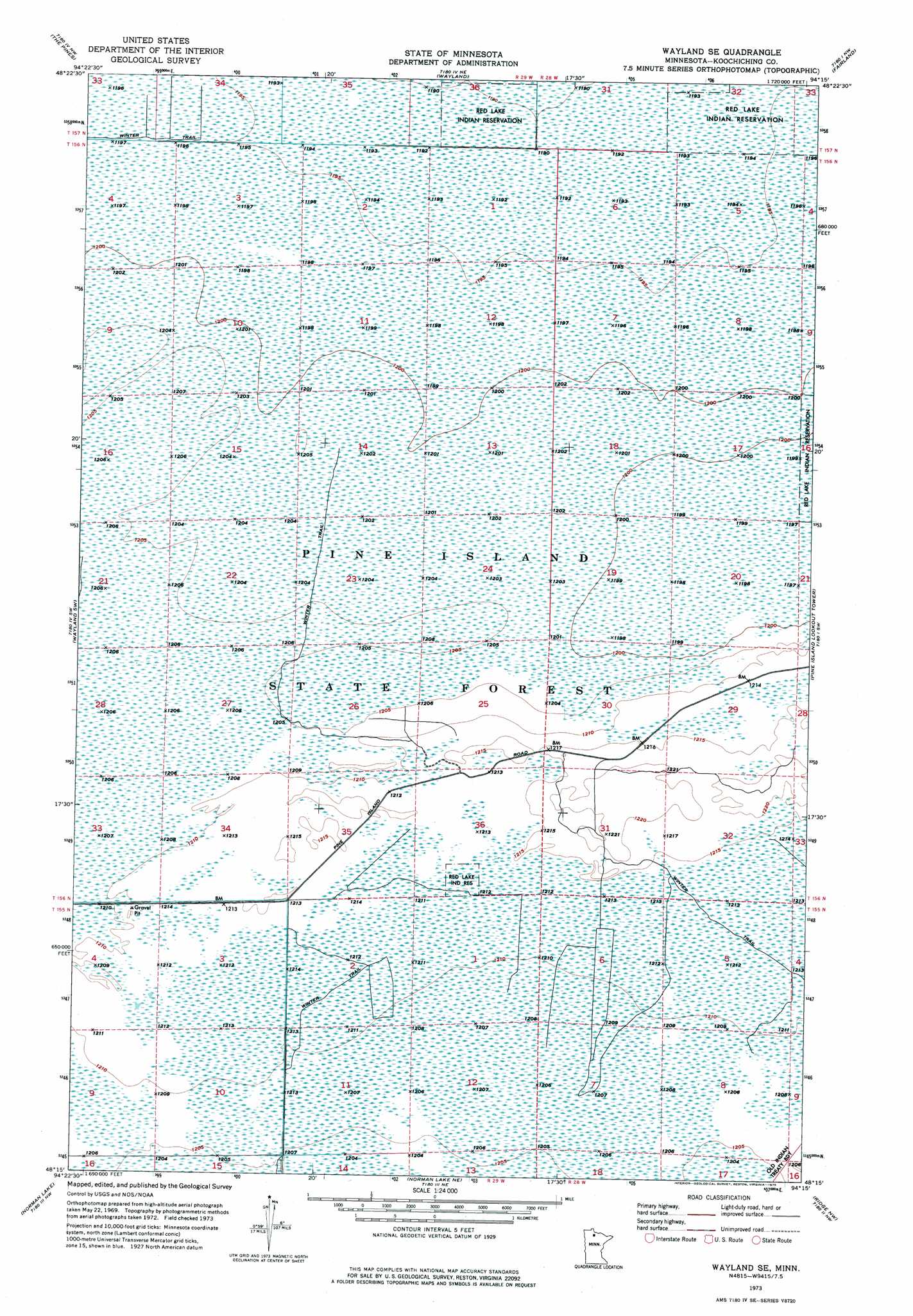
USGS Topo Quad 48094c3 - 1:24,000 scale
| Topo Map Name: | Wayland Se |
| USGS Topo Quad ID: | 48094c3 |
| Print Size: | ca. 21 1/4" wide x 27" high |
| Southeast Coordinates: | 48.25° N latitude / 94.25° W longitude |
| Map Center Coordinates: | 48.3125° N latitude / 94.3125° W longitude |
| U.S. State: | MN |
| Filename: | p48094c3.jpg |
| Download Map JPG Image: | Wayland Se topo map 1:24,000 scale |
| Map Type: | Orthophoto |
| Topo Series: | 7.5´ |
| Map Scale: | 1:24,000 |
| Source of Map Images: | United States Geological Survey (USGS) |
| Alternate Map Versions: |
Wayland SE MN 1973, updated 1976 Download PDF Buy paper map Wayland SE MN 2010 Download PDF Buy paper map Wayland SE MN 2013 Download PDF Buy paper map Wayland SE MN 2016 Download PDF Buy paper map |
1:24,000 Topo Quads surrounding Wayland Se
Baudette Se |
Clementson Sw |
Clementson Se |
Birchdale Sw |
Birchdale Se |
Chase Brook Ne |
The Pines |
Wayland |
Fairland |
Fairland Ne |
Ludlow Lookout Tower |
Wayland Sw |
Wayland Se |
Pine Island Lookout Tower |
Giant Pine Campground |
Waskish |
Norman Lake |
Norman Lake Ne |
Ridge Nw |
Ridge Ne |
Shotley Brook |
Norman Lake Sw |
Norman Lake Se |
Ridge Sw |
Ridge |
> Back to 48094a1 at 1:100,000 scale
> Back to 48094a1 at 1:250,000 scale
> Back to U.S. Topo Maps home
No gazetteer data is available for the Wayland Se topo map sheet.
Wayland Se digital topo map on disk
Buy this Wayland Se topo map showing relief, roads, GPS coordinates and other geographical features, as a high-resolution digital map file on DVD: