Manomin Creek Se Topo Map Minnesota
To zoom in, hover over the map of Manomin Creek Se
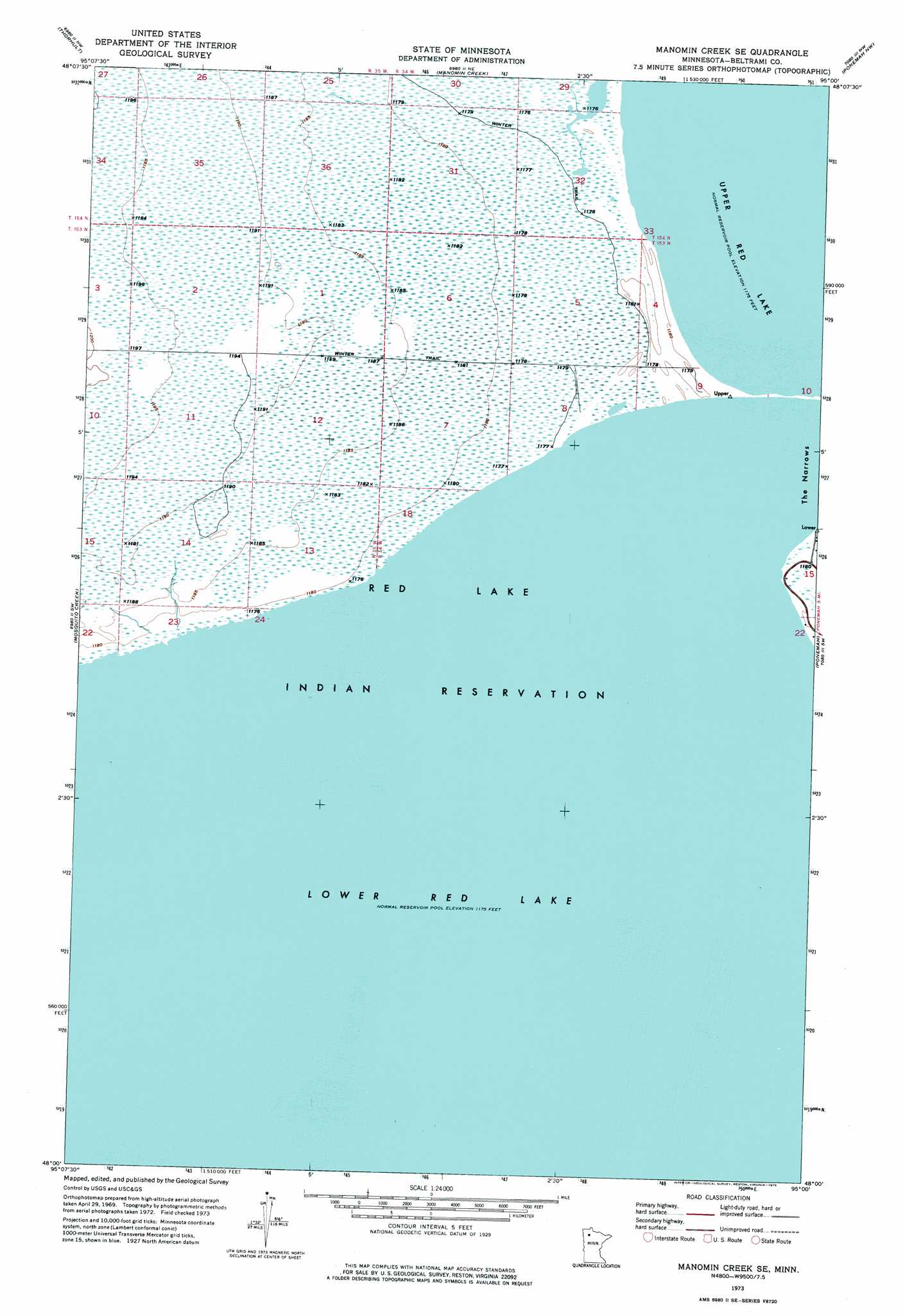
USGS Topo Quad 48095a1 - 1:24,000 scale
| Topo Map Name: | Manomin Creek Se |
| USGS Topo Quad ID: | 48095a1 |
| Print Size: | ca. 21 1/4" wide x 27" high |
| Southeast Coordinates: | 48° N latitude / 95° W longitude |
| Map Center Coordinates: | 48.0625° N latitude / 95.0625° W longitude |
| U.S. State: | MN |
| Filename: | p48095a1.jpg |
| Download Map JPG Image: | Manomin Creek Se topo map 1:24,000 scale |
| Map Type: | Orthophoto |
| Topo Series: | 7.5´ |
| Map Scale: | 1:24,000 |
| Source of Map Images: | United States Geological Survey (USGS) |
| Alternate Map Versions: |
Manomin Creek SE MN 1973, updated 1976 Download PDF Buy paper map Manomin Creek SE MN 2010 Download PDF Buy paper map Manomin Creek SE MN 2013 Download PDF Buy paper map Manomin Creek SE MN 2016 Download PDF Buy paper map |
1:24,000 Topo Quads surrounding Manomin Creek Se
Four Town |
Head Of Rapid River |
Shilling Dam |
Oaks Corner Sw |
Hilman Lake |
Jelle Ne |
Thorhult |
Manomin Creek |
Ponemah Nw |
Ponemah Ne |
Gimiwan Lake |
Mosquito Creek |
Manomin Creek Se |
Ponemah |
Sucker Creek |
Berner Ne |
Redby Ne |
|||
Gurneau Lake |
Bagley Lake |
Red Lake |
Redby |
Nebish |
> Back to 48095a1 at 1:100,000 scale
> Back to 48094a1 at 1:250,000 scale
> Back to U.S. Topo Maps home
Manomin Creek Se digital topo map on disk
Buy this Manomin Creek Se topo map showing relief, roads, GPS coordinates and other geographical features, as a high-resolution digital map file on DVD: