Hubert Hill Se Topo Map Montana
To zoom in, hover over the map of Hubert Hill Se
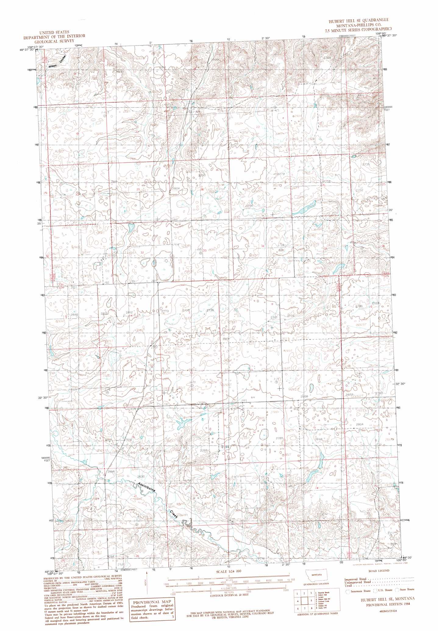
USGS Topo Quad 48108e1 - 1:24,000 scale
| Topo Map Name: | Hubert Hill Se |
| USGS Topo Quad ID: | 48108e1 |
| Print Size: | ca. 21 1/4" wide x 27" high |
| Southeast Coordinates: | 48.5° N latitude / 108° W longitude |
| Map Center Coordinates: | 48.5625° N latitude / 108.0625° W longitude |
| U.S. State: | MT |
| Filename: | o48108e1.jpg |
| Download Map JPG Image: | Hubert Hill Se topo map 1:24,000 scale |
| Map Type: | Topographic |
| Topo Series: | 7.5´ |
| Map Scale: | 1:24,000 |
| Source of Map Images: | United States Geological Survey (USGS) |
| Alternate Map Versions: |
Hubert Hill SE MT 1984, updated 1984 Download PDF Buy paper map Hubert Hill SE MT 2011 Download PDF Buy paper map Hubert Hill SE MT 2014 Download PDF Buy paper map |
1:24,000 Topo Quads surrounding Hubert Hill Se
Turner Se |
Chapman |
Horseshoe Lake |
Martin Lake |
Loring |
Down Reservoir Ne |
Emerick Bench |
Hubert Hill |
Lovejoy |
Austin Coulee |
Down Reservoir |
Hubert Hill Sw |
Hubert Hill Se |
Garland Creek |
Fanny Hill |
Dodson Dam |
Dodson |
Dodson Ne |
Malta Nw |
Malta Ne |
Coburg Se |
Cow Creek |
Wagner |
Malta West |
Malta East |
> Back to 48108e1 at 1:100,000 scale
> Back to 48108a1 at 1:250,000 scale
> Back to U.S. Topo Maps home
Hubert Hill Se topo map: Gazetteer
Hubert Hill Se: Dams
Olson Number 1 Dam elevation 842m 2762′Hubert Hill Se: Post Offices
Waleston Post Office (historical) elevation 842m 2762′Hubert Hill Se: Wells
32N28E16CC__01 Well elevation 857m 2811′32N28E20AAA_01 Well elevation 806m 2644′
33N28E31CD__01 Well elevation 860m 2821′
33N28E35CAC_01 Well elevation 851m 2791′
Hubert Hill Se digital topo map on disk
Buy this Hubert Hill Se topo map showing relief, roads, GPS coordinates and other geographical features, as a high-resolution digital map file on DVD: