Richmond Reservoir Sw Topo Map Montana
To zoom in, hover over the map of Richmond Reservoir Sw
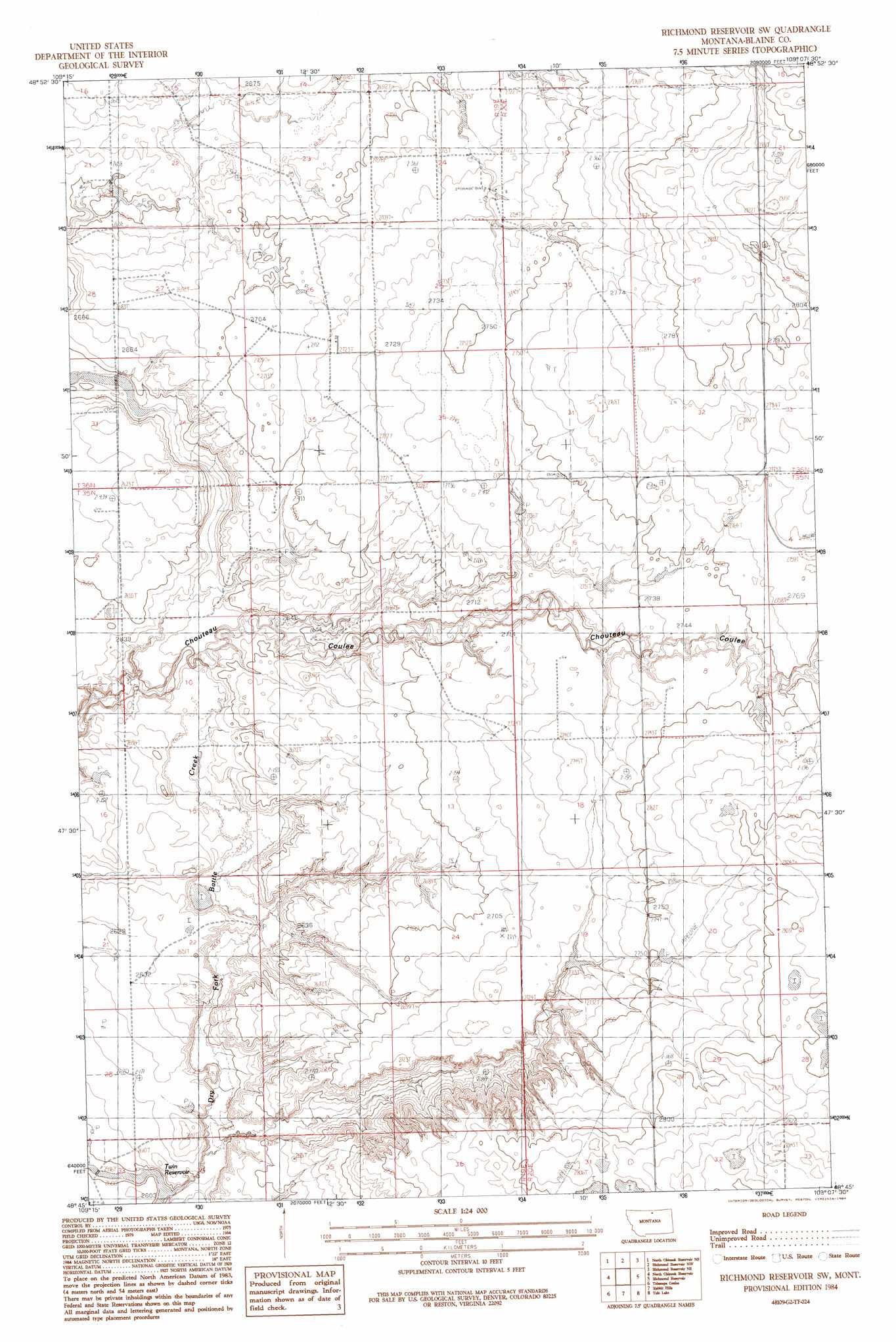
USGS Topo Quad 48109g2 - 1:24,000 scale
| Topo Map Name: | Richmond Reservoir Sw |
| USGS Topo Quad ID: | 48109g2 |
| Print Size: | ca. 21 1/4" wide x 27" high |
| Southeast Coordinates: | 48.75° N latitude / 109.125° W longitude |
| Map Center Coordinates: | 48.8125° N latitude / 109.1875° W longitude |
| U.S. State: | MT |
| Filename: | o48109g2.jpg |
| Download Map JPG Image: | Richmond Reservoir Sw topo map 1:24,000 scale |
| Map Type: | Topographic |
| Topo Series: | 7.5´ |
| Map Scale: | 1:24,000 |
| Source of Map Images: | United States Geological Survey (USGS) |
| Alternate Map Versions: |
Richmond Reservoir SW MT 1984, updated 1984 Download PDF Buy paper map Richmond Reservoir SW MT 2011 Download PDF Buy paper map Richmond Reservoir SW MT 2014 Download PDF Buy paper map |
1:24,000 Topo Quads surrounding Richmond Reservoir Sw
North Chinook Reservoir Nw |
North Chinook Reservoir Ne |
Richmond Reservoir Nw |
Richmond Reservoir Ne |
Irvins Coulee |
Mclaren Reservoir |
North Chinook Res. |
Richmond Reservoir Sw |
Richmond Reservoir |
Silver Bow Lake |
Reservoir Coulee |
Telescope Coulee |
Rabbit Hills |
Tule Lake |
Harlem Nw |
Lohman |
Lohman Se |
Chinook |
Zurich |
Fort Belknap Siding |
> Back to 48109e1 at 1:100,000 scale
> Back to 48108a1 at 1:250,000 scale
> Back to U.S. Topo Maps home
Richmond Reservoir Sw topo map: Gazetteer
Richmond Reservoir Sw: Dams
Little Dam elevation 839m 2752′Miss Flaming Jet Dam elevation 789m 2588′
Staff Dam elevation 844m 2769′
Stephens Dam elevation 842m 2762′
Richmond Reservoir Sw: Post Offices
Stowman Post Office (historical) elevation 805m 2641′Richmond Reservoir Sw digital topo map on disk
Buy this Richmond Reservoir Sw topo map showing relief, roads, GPS coordinates and other geographical features, as a high-resolution digital map file on DVD: